Turtle Canyon Oahu: Tracking Honu Migration Routes
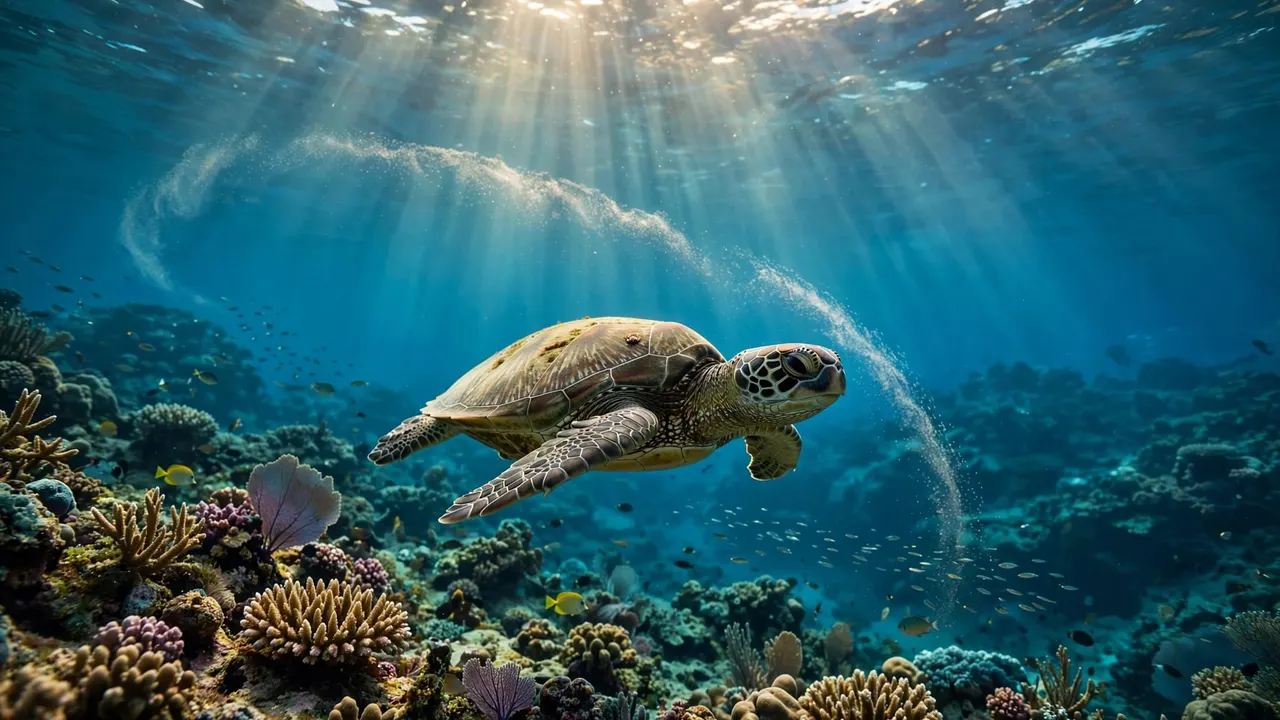
Satellite tracking reveals how Hawaiian green sea turtles travel between feeding areas and distant nesting grounds. At Turtle Canyon Oahu, a snorkel encounter gives you a different view: a chance to watch a honu in its coastal habitat.
With Living Ocean Tours, you can visit this offshore reef with professional in-water snorkel guides. Understanding what a tracking map can show makes the experience more rewarding, especially when you know how a single reef sighting fits into a turtle’s life.
Key Takeaways
Turtle Canyon is a reef off Waikiki where honu may visit natural cleaning stations. Satellite tags reveal broad journeys across the Hawaiian Islands, but they don’t provide a continuous view of each turtle.
One documented turtle, Punahele, completed a 2,800-mile round trip between Oahu and Lalo in 2020. Her journey shows how much ocean a honu can cross between time spent near shore.
What You Can See at Turtle Canyon Oahu
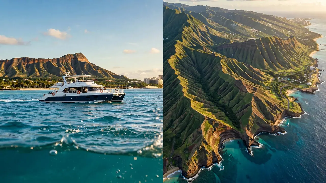
Turtle Canyon, also called Turtle Canyons, is an offshore reef area near Waikiki. You’ll reach it by boat, then have the chance to observe Hawaiian green sea turtles in the water.
Honu Visit a Natural Cleaning Station
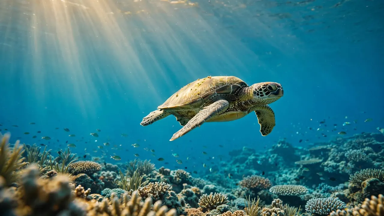
At Turtle Canyon Oahu, small reef fish may remove algae and other material from a turtle’s shell and skin. You might see a honu hover near the reef while fish move around it, or watch one rise toward the surface to breathe.
The reef offers more than turtle sightings. Keep an eye on the fish moving through the area, and give yourself time to enjoy the underwater scene without chasing an animal for a closer view.
A Sighting Is a Glimpse, Not a Count
A turtle you see on one outing offers a glimpse of that animal’s day. It doesn’t tell you how many turtles use the reef over a month or a year.
Researchers need repeated observations and a study designed for counting animals to estimate a population. No verified, site-specific population estimate for Turtle Canyon appeared in the available NOAA sources. That’s a useful distinction when you hear the reef described as a popular turtle habitat.
How Satellite Tracking Follows Honu
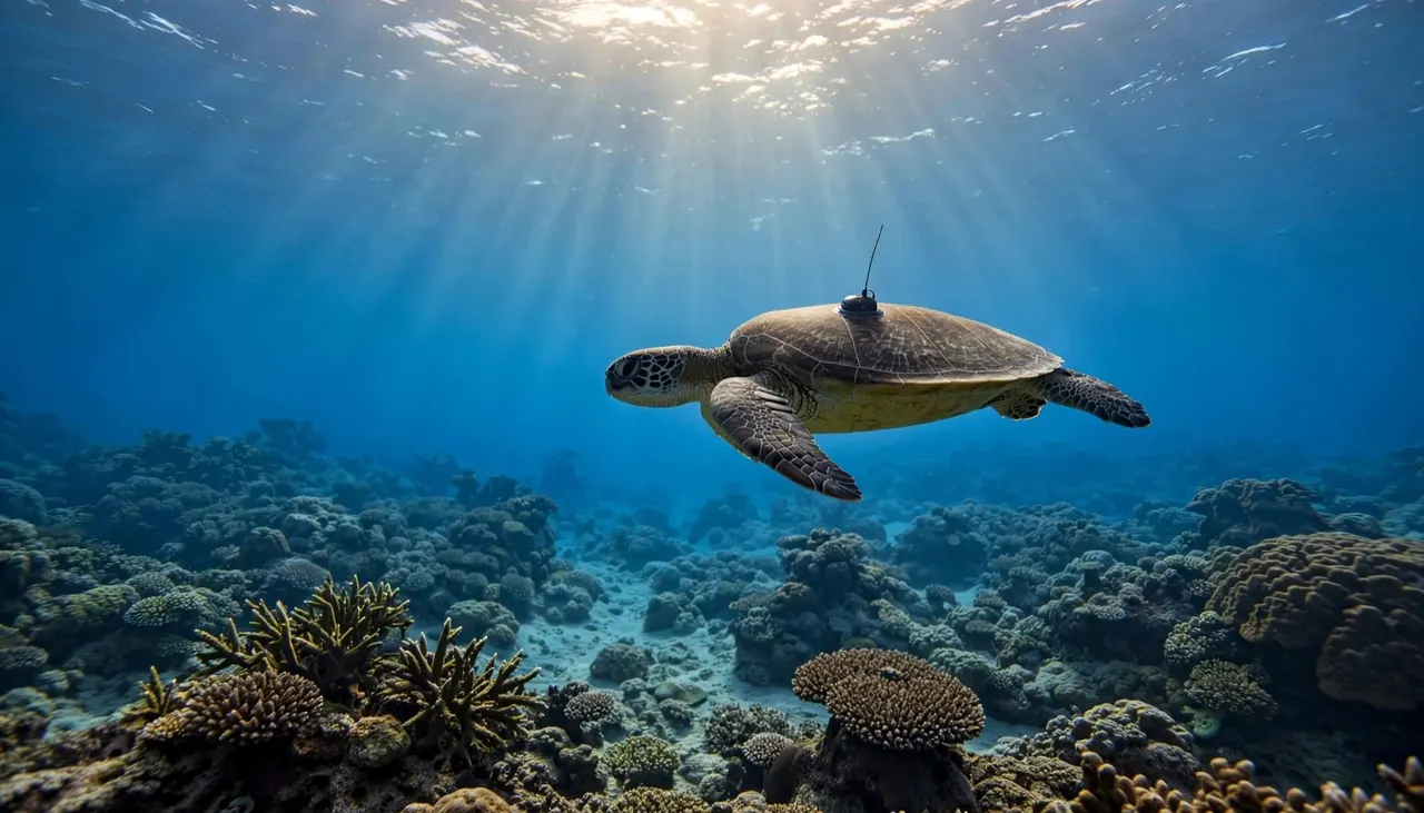
Satellite tags give researchers a way to follow turtles beyond the places people can watch them. The resulting tracks can reveal journeys that would be difficult to observe from a boat or shore.
A Tag Sends Information at the Surface
Researchers attach a transmitter to a turtle’s shell before releasing it. When the animal surfaces to breathe, the tag can send signals to satellites overhead.
For Punahele, NOAA describes a tag about the size of an adult’s closed fist. Researchers attached it with epoxy and shaped an additional layer around the device to help it move through the water. You can see NOAA’s account of Punahele’s tag and departure for details of that project.
A Map Is Built From Estimated Locations
A satellite track is a series of locations collected over time. Some tags use the Argos satellite system, which estimates location from radio signals; an Argos location isn’t automatically a GPS fix.
Signals depend on surfacing and satellite reception, so the data can have gaps. Location accuracy also varies. A line on a map connects the available points, but it doesn’t show every turn the turtle made between them.
Punahele’s Journey Between Oahu and Lalo
Punahele gives you a documented example of an Oahu turtle’s long-distance movement. NOAA researchers tagged her on Oahu in April 2020 and followed her journey toward French Frigate Shoals, also known as Lalo, in the Northwestern Hawaiian Islands.
She visited Tern Island before nesting at Lalo and spent 71 days at the atoll. On July 31, she began swimming east. By August 18, 2020, she had returned to her regular Oahu basking beach.
NOAA reports that Punahele’s round trip covered 2,800 miles after she left in April. The track connected a familiar Oahu resting area with a distant nesting destination and showed when she made her return.
That journey doesn’t mean every honu you see near Waikiki follows Punahele’s exact path. It does show why a turtle encounter close to shore can be part of a much larger story.
What Migration Maps Reveal About Hawaiian Honu
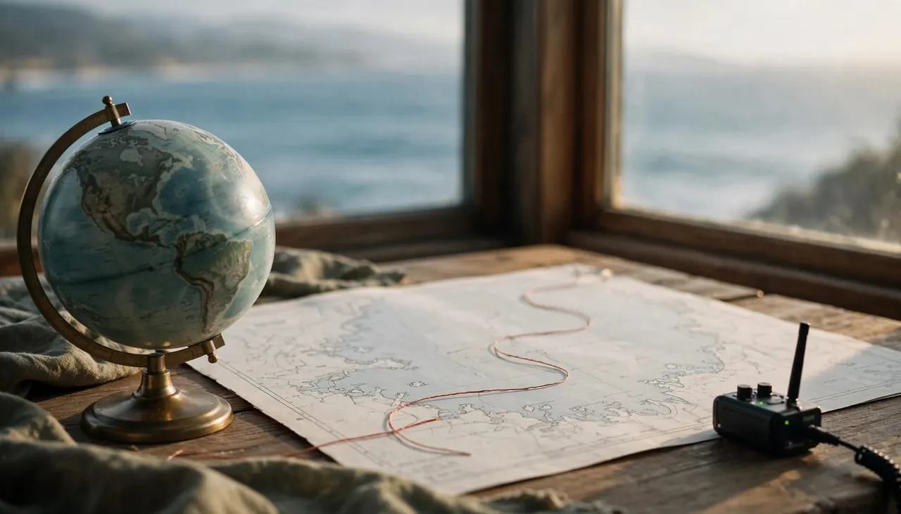
A migration map can connect places that look separate to you on a vacation itinerary. For a turtle, a coastal feeding area and a distant nesting beach can both be important parts of its life.
Feeding Grounds and Nesting Sites Are Far Apart
Many adult Hawaiian green turtles travel between feeding areas in the main Hawaiian Islands and reproductive sites at Lalo. NOAA’s 2023 draft biological report describes journeys of approximately 800 to 1,100 kilometers, or about 500 to 680 miles, taking 20 to 94 days.
Those figures describe broad migration patterns rather than a timetable for every turtle. Individual routes and travel times differ, and turtles may spend long periods near coastal habitats between reproductive journeys.
Tagged Turtles Return to Different Places
Tracking can also show where nesting turtles go afterward. NOAA’s draft report describes 17 females tagged after nesting at Lalo between 1992 and 2014. About half of that tracked sample returned to destinations at Kaneohe Bay on Oahu or Kahului Bay on Maui.
That result belongs to the turtles in the study. It doesn’t mean half of all Hawaiian honu use those two bays. The finding helps researchers identify destinations for the individuals they followed.
How to Read a Sea Turtle Tracking Map
A map can make a long journey easy to picture, but the details matter. When you look at a track, consider what the tag measured and what happened between its reported locations.
Look for Points, Dates, and Gaps
Each location point gives researchers an estimate at a particular time. A series of points can show a turtle moving across open water, remaining in a broad area, or returning toward an island.
A long straight line between two points may reflect missing data rather than a perfectly straight swim. Some signals produce less precise locations than others. The best-supported conclusion is often about the general direction of travel, not the turtle’s exact position beside a reef.
Separate Movement From Behavior
Tracking can suggest that a turtle spent time in a coastal area. A location alone doesn’t establish whether it was feeding, resting, or visiting a cleaning station at that moment.
Underwater observation provides a different kind of evidence. At Turtle Canyon Oahu, you might watch fish around a turtle’s shell; a satellite map helps researchers study movement across much greater distances. Each view answers a different question.
Give Honu Space at Turtle Canyon Oahu
Your role as a visitor is simple: watch without changing the turtle’s behavior. Hawaii’s sea turtle viewing guidance recommends staying at least 10 feet away in the water and on land.
Leave a Clear Path to the Surface
Honu breathe air, so keep their route to the surface open. Stay calm if one approaches, then give it room to continue. Don’t touch, feed, chase, or surround a turtle, even when it appears to be resting.
At a cleaning station, patient observation can be rewarding. Float at a respectful distance and watch for small fish moving around the turtle rather than diving down for a closer look.
Protect the Reef Around You
Keep your fins clear of coral and follow your guide’s directions when entering or leaving the water. Conditions can change, so stay with your group and tell your guide if you need flotation support.
If you notice an injured or entangled turtle, alert your guide. Don’t touch the animal or attempt to remove fishing line yourself. Giving it space avoids adding stress while trained responders are contacted.
Visit the Reef With Our Snorkel Guides
Our Turtle Canyons Snorkel Excursion takes you to Turtle Canyon Oahu from Kewalo Basin Boat Harbor. You’ll receive snorkeling equipment, flotation support, and guidance before and during your swim. Our professional snorkel guides join you in the water, which can make a first ocean snorkel feel more comfortable.
We report about a 95% turtle-sighting success rate on our snorkeling trips. Wildlife sightings are never guaranteed, though, and turtles choose when to visit and where to swim.
You can explore our Turtle Canyon snorkeling tour or CHECK AVAILABILITY for your visit.
Frequently Asked Questions
Do all Hawaiian green turtles migrate to Lalo?
You can’t assume every turtle follows the same route. Many adults migrate between feeding areas in the main Hawaiian Islands and reproductive sites at Lalo, but individual journeys differ. Satellite studies help researchers document the turtles they tag.
Can a satellite tag show a turtle’s exact path?
A track shows a series of estimated locations, not a continuous recording of every movement. Signal gaps and differences in location accuracy mean the line between points is an interpretation of the available data.
Will you always see a turtle at Turtle Canyon?
No wildlife sighting is guaranteed. Our reported sighting rate is about 95%, but water conditions and turtle behavior vary. You’ll also have the chance to observe reef fish and the offshore setting.
A Wider View of Your Honu Encounter
A turtle at Turtle Canyon Oahu may be part of a journey that stretches far beyond Waikiki. Punahele’s documented migration shows how satellite tracking can connect an Oahu habitat with a distant nesting site.
When you’re in the water, give each honu room to move and enjoy the behavior you can see. That respectful view is its own part of the story.