Snorkeling Oahu: How to Read Ocean Buoy Data
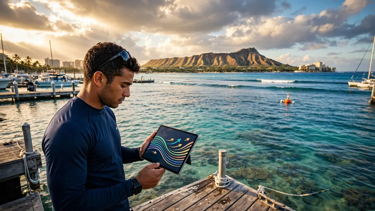
A bright Waikiki morning can look perfect from your hotel balcony while wind and swell are already changing the water beyond the reef. Before snorkeling Oahu, ocean buoy data gives you a useful early read on wave energy, wind, and water temperature.
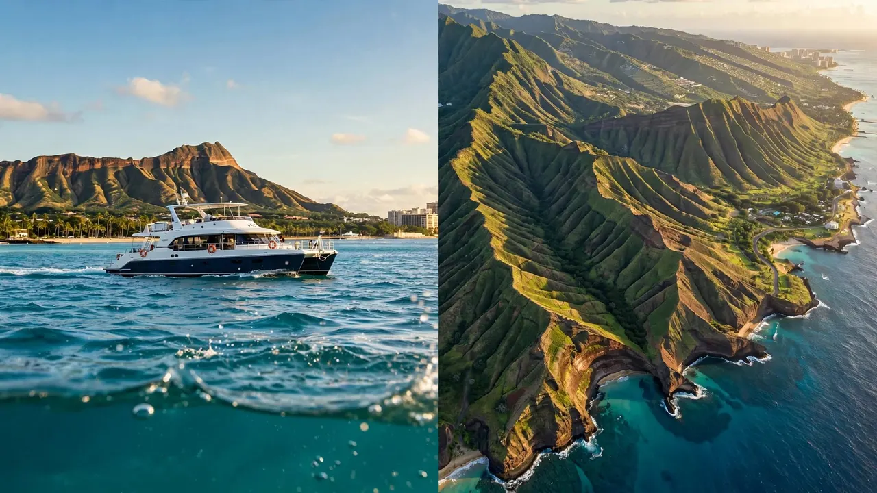
Living Ocean Tours departs from Kewalo Basin Boat Harbor, minutes from Waikiki, with the only tour company on Oahu that has professional snorkel guides in the water with you. You still need to look at the ocean in person, but buoy readings help you arrive with better expectations.
Key Takeaways for Snorkeling Oahu
- Read wave height, wave period, wind, and timestamp before you head to the beach or harbor.
- Use a buoy near your coast as regional context, not as a guarantee of conditions at a particular reef.
- Longer-period swells can carry more energy than their height alone suggests.
- Check the shoreline too. Whitewater, strong shorebreak, brown runoff, and heavy wind chop can cancel an otherwise appealing plan.
- Let a charter crew make the final decision offshore, because they assess conditions at the actual site, vessel traffic, and guest comfort.
A buoy can tell you what the open ocean is doing. It cannot show you the current, visibility, or reef surge at the exact spot where you plan to enter.
What Buoy Data Can and Cannot Tell You
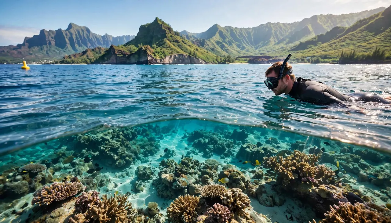
Ocean buoys collect observations offshore and transmit them at regular intervals. For snorkeling Oahu trips, that information can reveal a rising swell, growing wind, or an unexpected change before you leave Waikiki.
Still, water conditions can differ sharply around the island. The North Shore may receive powerful winter surf while south-facing Waikiki waters remain more protected. Barbers Point, Kaneohe, and Honolulu also experience different exposure to wind and swell.
A buoy is a regional reference point
A buoy’s position matters. The Honolulu station, OOUH1, reports wind, gusts, pressure, air and water temperature, plus wave observations through NOAA’s Honolulu buoy station. Those readings are helpful for the south shore, yet they are not a direct measurement from Turtle Canyon.
Use the nearest relevant observation as one part of the decision. Then compare it with the forecast, current beach conditions, and your own confidence in the water.
The reef has its own behavior
Reefs, channels, harbor walls, and headlands can change the way waves arrive. A calm boat ride doesn’t always mean calm water near a reef edge. Likewise, a sheltered lagoon can look inviting while surge breaks over the outer rocks.
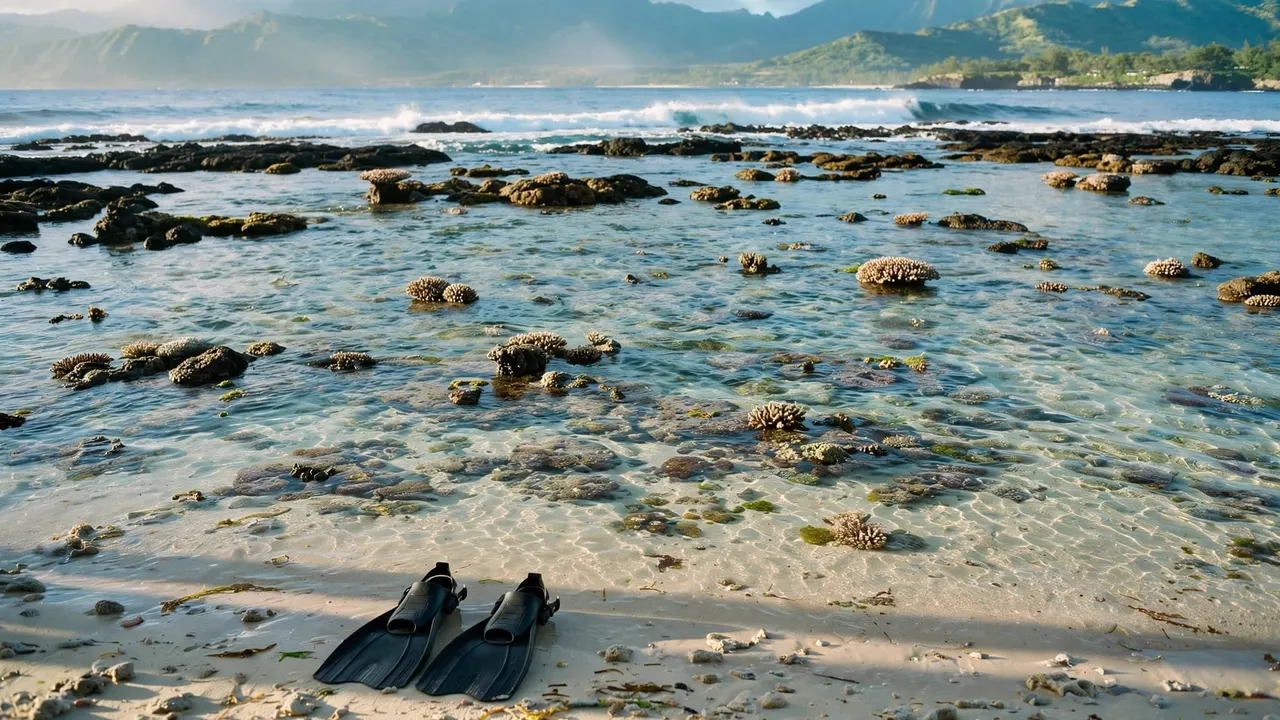
When you arrive, watch the water for several minutes. Look for whitewater crossing the reef, waves slapping against rocks, swimmers struggling to move forward, or murky water after rain. Any of those signs deserve more weight than a promising number on your phone.
The Four Buoy Numbers to Read First
You don’t need to decode every field on a marine report. Start with four measurements, then build a simple picture of what may be waiting offshore.
Wave height shows the surface state
Wave height describes the size of waves measured at the buoy. As the reading rises, you can expect more motion, chop, and possible surf exposure. Even a modest wave height can make a mask-and-snorkel session less comfortable when it creates irregular surface chop.
Don’t treat one height as a universal go or no-go cutoff. Your swimming ability, the reef’s exposure, the entry point, and the latest local conditions all matter.
Wave period reveals swell energy
Wave period is the number of seconds between wave crests. A longer period often points to a more organized swell that can produce stronger sets when it reaches shallow reef or shore.
For example, two days can show similar wave heights but feel completely different in the water. The day with the longer swell period may have more powerful surges near a rocky edge. Read height and period together rather than judging either figure alone.
Wind changes comfort and visibility
Wind speed and direction influence surface texture. Stronger winds can raise chop, push swimmers off course, and make it harder to keep a relaxed breathing rhythm. Onshore winds can also stir sediment and reduce underwater visibility near exposed beaches.
Check both the present wind and the trend. If winds have increased through the morning, conditions may keep deteriorating even if the first reading seemed manageable.
Water temperature helps you dress for the day
Water temperature won’t tell you whether the reef is calm, but it helps you prepare. A cooler-than-expected swim can leave you tired sooner, especially if you are new to open-water snorkeling.
PacIOOS maintains a Kaneohe WETS buoy about one mile offshore of Pyramid Rock. It updates every 30 minutes and tracks waves at a different part of Oahu, which is a useful reminder that no single buoy describes the whole island.
Where to Find Official Oahu Observations
The fastest routine uses a small number of reliable sources. Save them before your vacation so you aren’t sorting through unfamiliar surf apps from the beach.
Start with National Weather Service reports
The NWS Honolulu buoy report places temperature, wind direction and speed, pressure, wave height and period, and swell details in one compact view. Its surf forecast should sit beside your buoy check, especially when you plan to snorkel an exposed shoreline.
Read the report’s timestamp. A reading from several hours earlier may not reflect a fresh wind shift or new swell.
Use charts to understand your setting
A buoy tells you about conditions, while NOAA nautical charts help you understand the coast’s reefs, channels, and depth changes. You don’t need chart-reading skills for a guided cruise, but knowing that a location faces south, north, east, or west helps you connect a swell direction to the coast you will visit.
For snorkeling Oahu shore days, pair that knowledge with the actual view from land. Don’t use a map or buoy reading to justify entering water that looks rough.
Build a Five-Minute Pre-Snorkel Routine
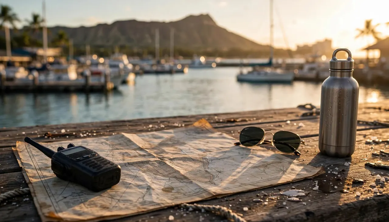
A quick check gives you more confidence without turning vacation into a weather project. Look at the numbers before breakfast, then check them again close to departure if wind or surf is changing.
Compare the latest reading with the trend
First, confirm the buoy’s most recent update. Next, compare wave height, period, and wind with earlier observations. Rising wind or a building swell deserves attention, even if the values still look moderate.
After that, read the official surf forecast for the shore you plan to visit. North Shore, west side, windward coast, and south shore conditions can vary enough that one island-wide forecast is never the full answer.
Check your exact entry and exit
At the beach, watch for at least several minutes before putting on fins. Notice where people enter, where waves are breaking, and whether water looks clear. If rain has sent runoff toward the coast, brown water, debris, or unusual odor are good reasons to skip snorkeling.
Never snorkel alone. Stay within protected areas when you choose a lagoon, watch children closely, and save energy for the exit. A flotation device can make your swim more relaxed, especially if you are rebuilding confidence in the ocean.
Let a Professional Crew Read the Reef With You
For a boat-based outing, you can use buoy data to understand the day while the crew handles final site choices. That is often the better option when you are traveling with children, new to snorkeling, or unsure about a shore entry.
Living Ocean Tours operates Coast Guard-inspected double-decker vessels with shaded seating, restrooms, dry storage, and sturdy ladders. The crew’s professional snorkel guides provide in-water support, help with gear fit, and keep the experience focused on safe wildlife viewing.
Turtle Canyons adds in-water guidance
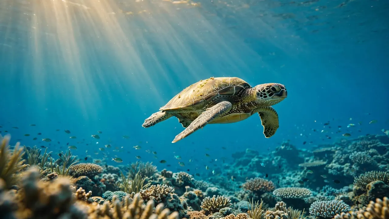
The Turtle Canyons Snorkel Excursion visits Waikiki’s natural turtle cleaning station, where reef fish may remove algae and small organisms from Hawaiian green sea turtles. Living Ocean Tours reports a 95% turtle-sighting rate, although wildlife sightings always depend on the animals and conditions.
You receive gear and instruction before entering the water, so you can focus on the reef rather than managing an unfamiliar shoreline. Keep your distance, never touch a turtle, and let it choose its own path.
When the conditions and your plans align, you can CHECK AVAILABILITY for a guided Turtle Canyons trip.
Comfort changes the whole experience
A well-fitting mask matters more than expensive equipment. Test the seal on dry skin before departure, wear a rash guard if you want extra coverage, and bring drinking water plus a cover-up for the ride back.
Tell a guide early if you feel cold, dizzy, nervous, or tired. You do not need to stay in the water to prove anything. Returning to the boat while you still feel well is always a good decision.
Questions About Snorkeling Oahu and Buoys
Which buoy should you check for Waikiki?
Start with Honolulu-area observations and the NWS Honolulu report, then check a south-shore surf forecast. A station’s distance and exposure matter, so do not assume a Kaneohe or Barbers Point reading matches Waikiki’s offshore reef conditions.
If you are joining a charter, use the data to understand the day, then trust the captain and crew to assess the actual route and water conditions.
Does low wave height mean snorkeling will be clear?
No. Visibility also depends on wind, rain, runoff, reef sediment, and recent surf. A low reading may coincide with brown water after heavy rain, while a slightly livelier day can still offer clear water in a protected area.
Look for clear blue water, manageable surface conditions, and a comfortable entry. If any part of the picture looks wrong, choose coastal sightseeing or another activity instead.
What should you do if conditions change offshore?
Tell the crew as soon as you feel uncomfortable. Hold a flotation device if you need a break, avoid touching coral with your fins, and return to the boat before fatigue sets in.
Conditions can change faster than a forecast refreshes. For that reason, the best snorkeling Oahu experience is one where you stay aware, listen to the crew, and respect your personal limits.
Make Ocean Data Part of a Better Day on the Water
Buoy data gives you an informed starting point, not a promise. Read wave height, period, wind, and the latest timestamp, then confirm what you see at the shoreline or reef.
For snorkeling Oahu, sound judgment protects your day as much as any piece of gear. When the water is inviting, you can enjoy it with more confidence. When it isn’t, choosing to wait shows the same respect for the ocean that makes Hawaii’s reefs worth visiting.