Oahu tide charts: What to Know Before You Snorkel
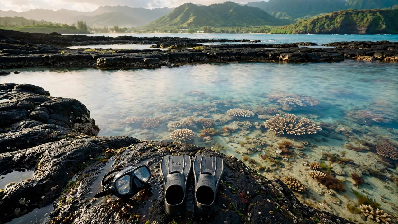
Oahu tide charts show predicted water levels and high and low tide times, not a complete snorkeling safety forecast. At Living Ocean Tours, we help you connect those numbers with the conditions you encounter offshore.
For your family or partner, the useful question is how changing water depth affects the reef, your entry, and your return. Start by separating what a tide chart measures from the conditions it can’t predict.
Key Takeaways
- Tide predictions show changing water levels, not wave heights, visibility, or current strength.
- Your nearest coastal station is a starting point because conditions differ around Oahu.
- Higher water can increase clearance above shallow reef, while lower water can expose obstacles and restrict exits.
- Professional guidance adds support, but your swimming ability and the day’s actual conditions still matter.
A good snorkeling window combines suitable water levels with manageable surf, wind, and currents. No tide stage makes every reef suitable for every swimmer.
How to Read Oahu tide charts
Start with the high and low times
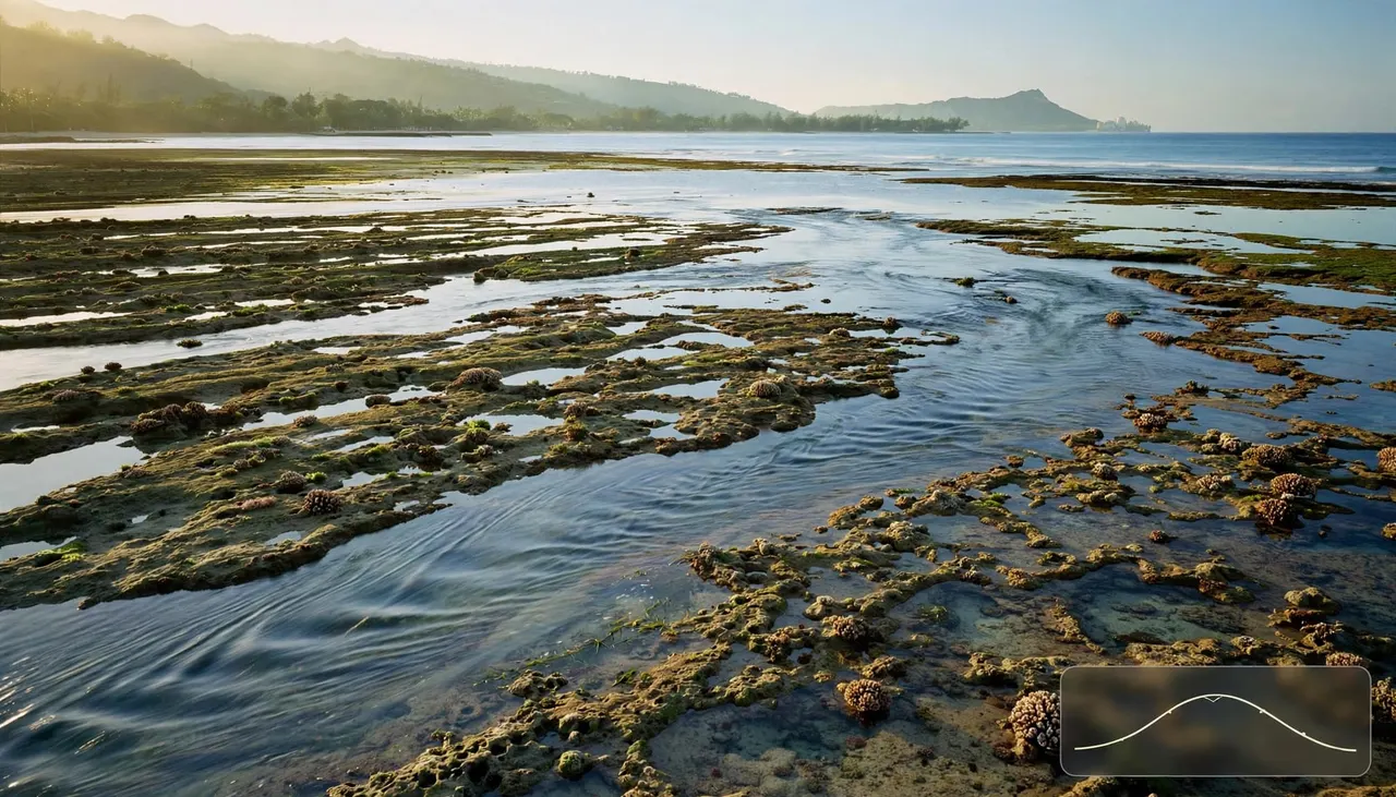
A tide table lists predicted high and low water times alongside their heights. A graph connects those points, so you can see whether the water should rise or fall during your planned swim.
Many Oahu dates have two high tides and two low tides, often with unequal heights. That means the morning low and afternoon low may create different reef clearance.
NOAA’s Honolulu tide-prediction calendar illustrates this table format. Read the full period you expect to spend near the water, including your return, rather than choosing a single appealing timestamp.
Understand what the height measures
A predicted tide height uses a reference level called a datum. It doesn’t measure the distance between your fins and the reef beneath you.
For example, a negative prediction means water below that reference level. It doesn’t mean the ocean is empty or that every shallow area becomes walkable.
Also, heights from different datum settings aren’t directly comparable. Keep the same units and reference setting when comparing tide tables. Your actual swimming depth still depends on the reef’s shape and where you enter the water.
Pick a Station That Matches Your Shoreline
Use a nearby coastal reference
Oahu tide charts aren’t interchangeable across the island. NOAA lists separate prediction locations, including Honolulu, Hanauma Bay, and Haleiwa at Waialua Bay.
Honolulu station 1612340 is a useful south-shore reference. However, its predictions don’t describe every reef channel, beach entrance, or offshore snorkeling site around Waikiki.
A nearby station helps you understand the expected water-level cycle. Local geography then changes how that cycle affects your swim. A broad sandy entrance and a narrow reef opening can behave differently at the same predicted height, particularly when waves push water across shallow reef.
Keep the clock settings consistent
Hawaii Standard Time is UTC-10, and Hawaii doesn’t observe daylight saving time. Tide websites may display local time or another selected time zone.
Match the chart’s clock to your outing before comparing departure times with high or low water. Otherwise, you can plan around the wrong part of the cycle.
Also, use predictions for your actual date. Yesterday’s convenient high tide won’t occur at the same time today. Tide timing shifts, so a familiar morning routine doesn’t guarantee familiar water levels throughout your vacation.
How Changing Tides Affect Your Reef Visit
Higher water changes reef clearance
More water above a shallow reef can give you additional room to float without contacting coral. That can make some areas more comfortable when surf and currents are also manageable.
However, higher water can also allow waves to travel across reef sections differently. Extra depth doesn’t cancel wave energy or guarantee gentle conditions near shore.
Keep your body horizontal and avoid standing on coral, regardless of the tide. If you can’t float above the bottom without touching it, choose a different route or leave the water. Reef clearance should allow comfortable movement without contact.
Lower water changes entries and exits
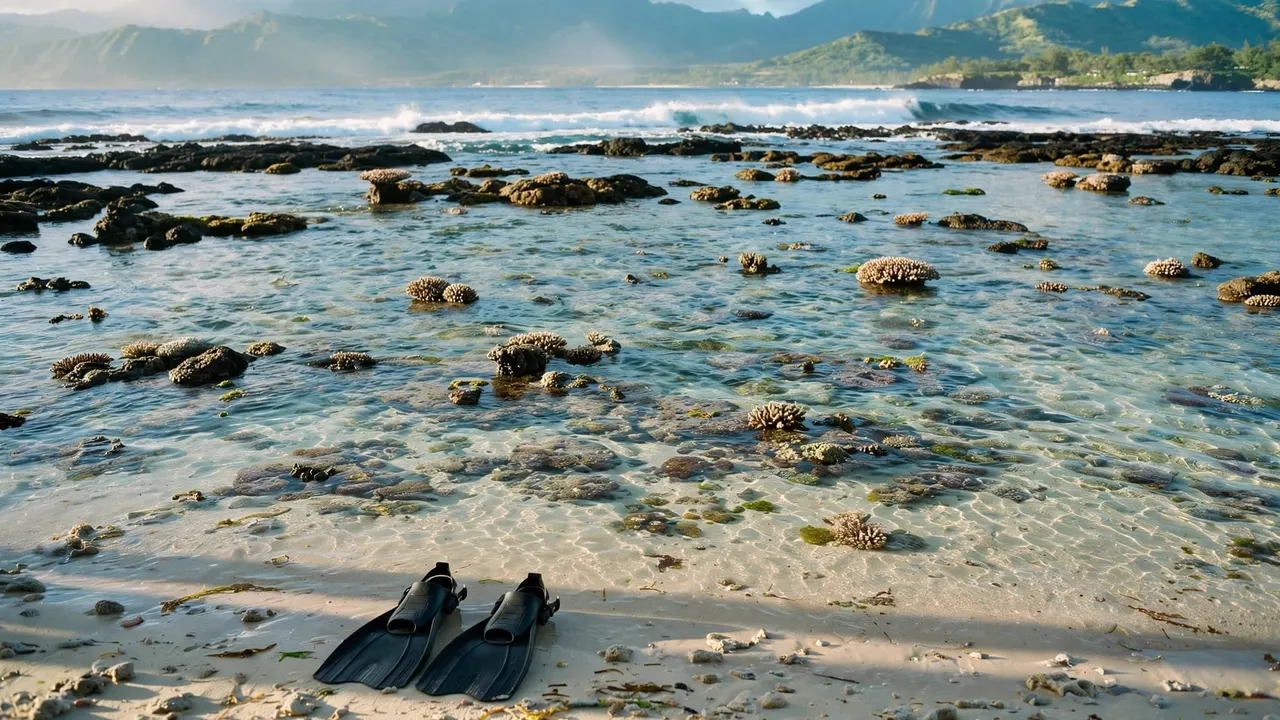
As water falls, rocks and coral heads can become closer to the surface. A route that looked open earlier may offer less room on your return.
That matters most when your exit involves a shallow reef shelf, rocky edge, or narrow opening. Think about the water level when you’ll finish, not only when you begin.
A low-tide walk among exposed rocks is also different from snorkeling over a living reef. Don’t use tide-pool timing advice as a snorkeling safety rule. You still need enough water, manageable waves, and an exit within your swimming ability.
What Oahu tide charts Can’t Tell You
Surf and currents need separate attention
A tide graph doesn’t show the swell approaching your beach. Wave direction, wave energy, and reef shape can produce difficult conditions even when the water-level prediction looks convenient.
Hawaii Ocean Safety identifies high surf, strong currents, heavy shorebreak, and high winds as poor snorkeling conditions. Breaking waves in shallow water also deserve particular caution.
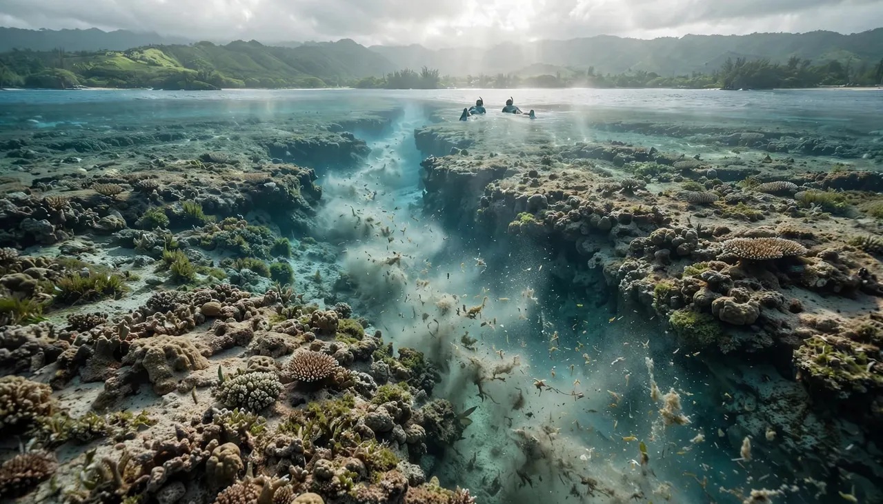
Reef channels can carry water offshore, and increased surf can strengthen currents. Don’t treat a smooth-looking channel as an invitation to swim farther out. Your ability to return matters more than how inviting the water looks.
A high-tide timestamp doesn’t establish slack water. Water-level predictions and current predictions describe different things.
Wind, rain, and visibility remain separate
Wind can create surface chop that makes breathing through a snorkel uncomfortable. Meanwhile, waves can stir sediment, and runoff after heavy rain can reduce water clarity.
The National Weather Service’s Honolulu weather forecast adds wind and rainfall context that a tide table doesn’t contain.
Morning outings often appeal because winds can be lighter, but early hours aren’t an automatic safety advantage. A rough morning remains unsuitable, even at your preferred tide. If you can’t see well enough to stay oriented and avoid obstacles, leave the water.
Build a Plan Around the Whole Ocean Picture
Before entering from shore, give yourself time to watch the water. Hawaii’s Division of Aquatic Resources recommends observing wave action for about 15 minutes, then continuing to monitor conditions.
That pause helps you notice larger wave sets, moving foam, and changes around your intended exit. However, a short observation period doesn’t replace ocean-swimming experience.
Use this sequence to organize your decision:
- Identify your entry and return route, including how a changing water level could affect both.
- Assess surf, wind, visibility, and moving water alongside the predicted tide.
- Match the outing to the least-confident swimmer, and stay out when conditions exceed your group’s ability.
Snorkel with a buddy and stay within a distance you could swim back without equipment. A comfortable mask fit and flotation support can help, but they don’t replace swimming ability.
On our Waikiki snorkeling and wildlife tours, you have a crew briefing rather than having to interpret an unfamiliar reef entrance alone.
Explore Turtle Canyon With Our Team
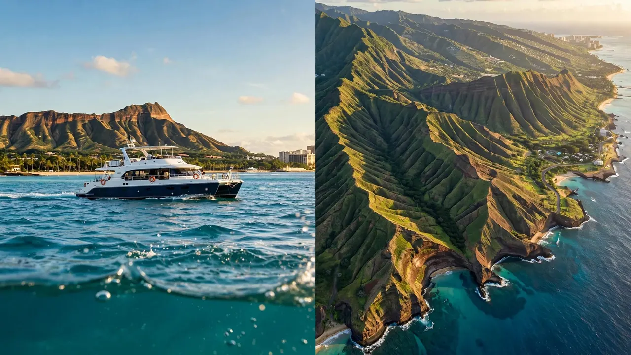
Our Turtle Canyon Snorkel Tour takes you from Kewalo Basin Boat Harbor to an offshore reef near Waikiki. Trips start at $79 per person.
We’re the only tour company with professional snorkel guides, so you have direct in-water support while exploring. Tell us before entering if you’re new or nervous, so you can ask for help with gear fit and getting comfortable.
Boat access removes the need to cross a shallow shore reef. However, Turtle Canyon remains open ocean, where swell and current still matter. Our crew’s assessment adds local context beyond a tide-table reading.
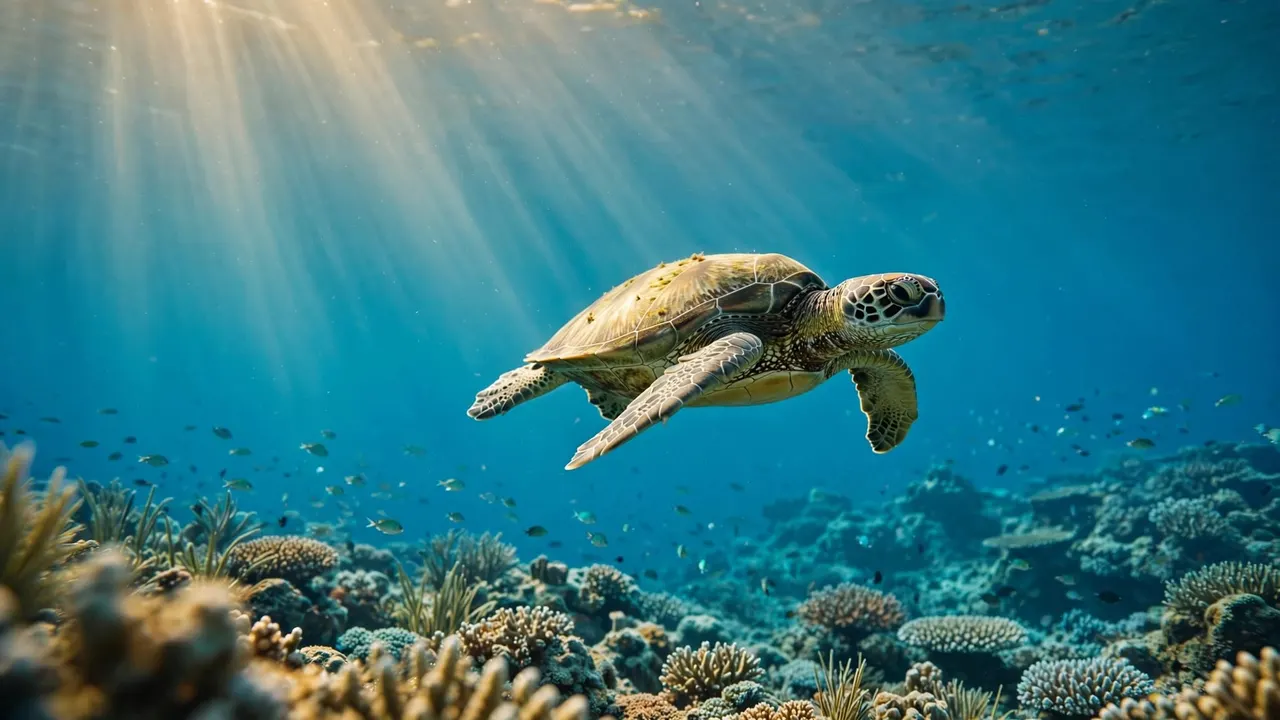
At its natural cleaning stations, reef fish remove material from Hawaiian green sea turtles. Give turtles at least 10 feet of space, never touch them, and keep their route to the surface clear.
For a turtle-focused outing, CHECK AVAILABILITY. You can also explore our Waikiki snorkeling options for a different family outing.
Browse our available ocean adventures below.
Frequently Asked Questions
Is high tide or low tide better for snorkeling?
Neither is automatically better. Higher water can provide more clearance over shallow coral, while lower water can bring rocks closer to your fins. The useful choice depends on the site’s shape, surf, current, and your entry and exit.
Choose conditions that give your group comfortable swimming room and a manageable return. Don’t accept rough water simply because the tide height looks favorable.
Does high tide mean the current stops?
No. High tide identifies a predicted peak in water level, not a guaranteed pause in water movement. Waves and wind can also move water across reefs and through channels.
You can’t infer current speed or direction from the high-tide time alone. At an unfamiliar site, follow lifeguard or professional crew guidance rather than assuming the current has stopped.
Let Conditions Set Your Snorkeling Window
Oahu tide charts help you anticipate changing water levels, especially around shallow reef and shore entrances. Their value grows when you combine them with surf, wind, and what you observe.
Choose comfortable conditions over a preferred timestamp. With a suitable site and support that matches your ability, you can spend more attention enjoying the reef and less worrying about your return.