Oahu boat tour: The volcanic coast from the water
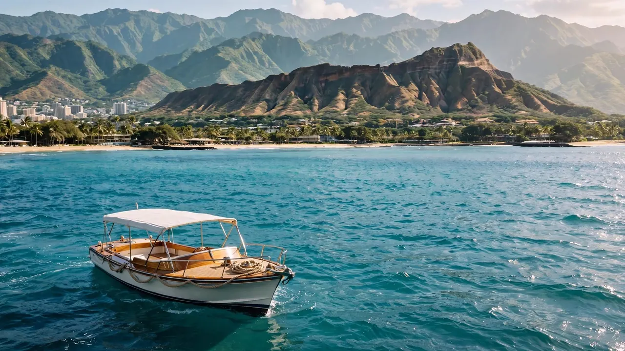
An Oahu boat tour gives you a clear view of the volcanic landmarks that shaped the island’s south shore. With Living Ocean Tours, you can leave the Waikiki shoreline behind and see Diamond Head rise beyond the beaches and buildings.
The view makes more sense when you know that Oahu’s volcanic story includes both the mountains that built the island and younger eruptions that left coastal craters. Once you’re offshore, those different chapters are easier to spot.
What you can see from an Oahu boat tour
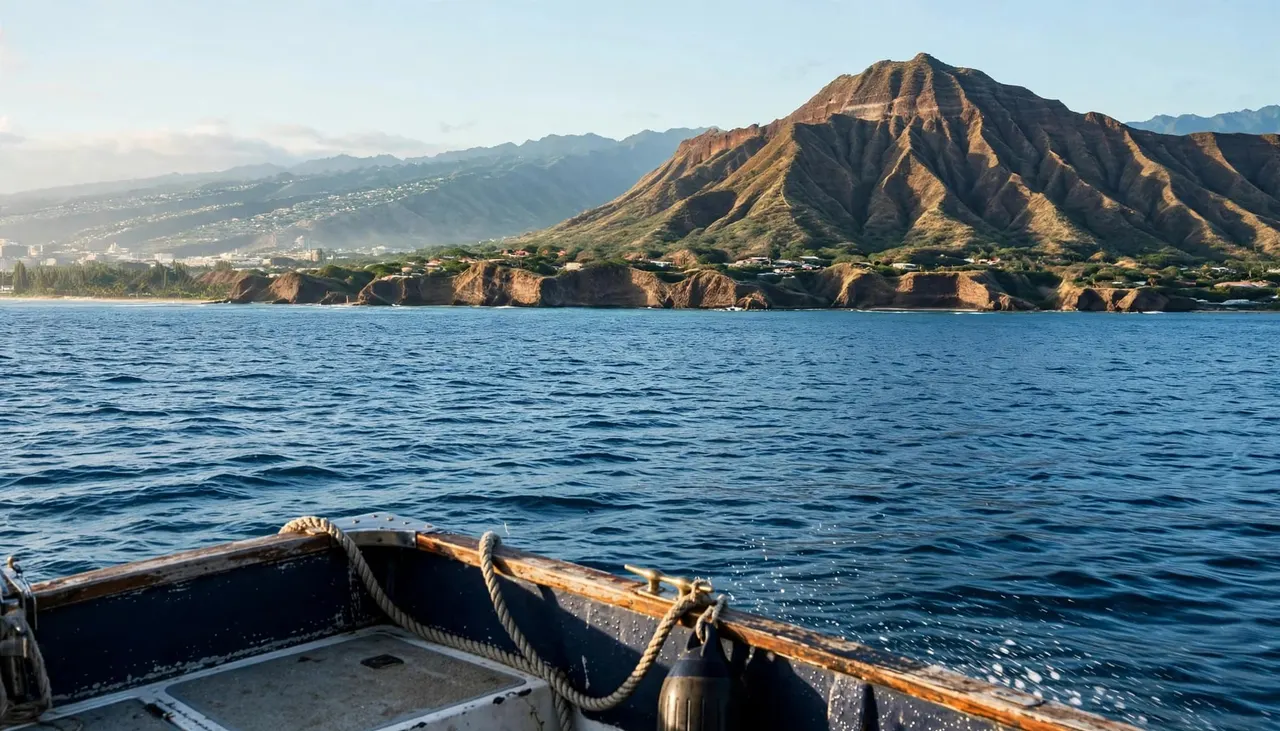
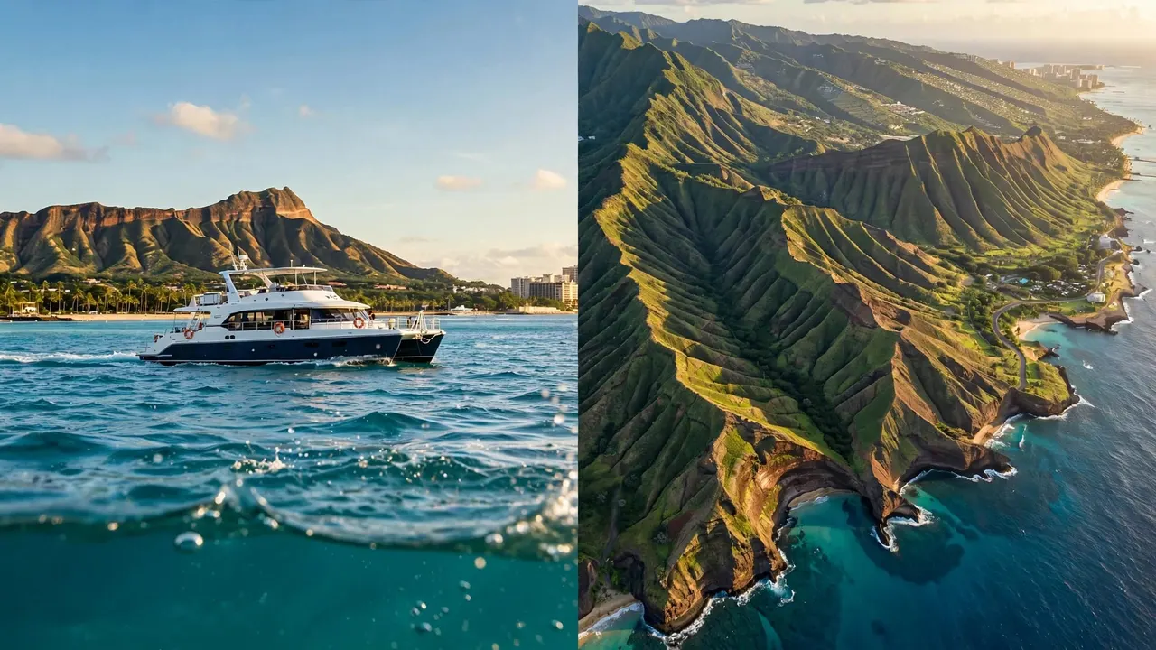
Waikiki looks different when you face it from the water. Hotels line the shore, the Ko’olau Mountains rise inland, and Diamond Head forms a distinctive ridge to the east. Together, they give you a view of a coast shaped over a long span of time.
As your boat moves, the angle changes. A ridgeline that looks flat from the beach can take on more shape offshore. You may also see how Diamond Head sits apart from the larger mountain range behind Honolulu.
Conditions and the captain’s route affect what you can see. Wind, swell, boat traffic, and visibility can all change the view, so landmarks are orientation points rather than promised stops. You don’t need to reach a crater to appreciate its outline from the water.
Keep an eye on the shoreline in both directions. The view toward Diamond Head tells one part of the story, while the longer mountain ridges behind the city tell another.
The volcanoes that built Oahu
Two shield volcanoes formed the island
Oahu began with two major shield volcanoes: Wai’anae to the west and Ko’olau to the east. Repeated eruptions built broad volcanic mountains above the ocean, creating the foundation of the island you see today.
Shield volcanoes grow in wide, sloping layers rather than forming the steep, symmetrical cone you might picture when you hear the word “volcano.” Their shapes change over time as eruptions stop and erosion wears down the rock.
The Ko’olau range is especially relevant to a south-shore outing. When you look inland behind Honolulu, you’re seeing part of the much older volcanic mass that helped form eastern Oahu.
Later eruptions added new landmarks
After the main shield-building stage, younger volcanic activity produced smaller features across southeastern Oahu. Geologists call these deposits the Honolulu Volcanics.
Diamond Head, Punchbowl, and Koko Head are among the familiar cones associated with that later activity, according to a U.S. Geological Survey report. They sit within a landscape already shaped by the older Ko’olau volcano.
That distinction helps you read the coast. The long mountain range and the compact crater near Waikiki are connected by Oahu’s volcanic history, but they formed during different periods of activity.
Diamond Head’s volcanic story
How Lē’ahi formed
Diamond Head, known in Hawaiian as Lē’ahi, is a volcanic tuff cone. Its formation involved an eruption where magma interacted with water, producing explosive bursts of ash and other fragmented material.
Those fragments accumulated around the vent and hardened into tuff. A southeast Oahu geology field guide identifies Lē’ahi as an example of this water-influenced volcanic activity.
For you on an Oahu boat tour, the useful detail is its shape: Diamond Head is a low, broad ring rather than a tall mountain peak. Seen from offshore, its uneven rim often appears as a long ridge with a higher point at one end.
Why the view changes offshore
From Waikiki Beach, nearby buildings and your position at ground level can interrupt the crater’s outline. On the water, you can see more of the landform against the sky and surrounding coast.
Look for the contrast between Diamond Head’s dry, exposed slopes and the urban shoreline closer to Waikiki. Neither view shows you every part of the crater, but the changing angle helps you recognize its scale.
At the same time, remember that what looks like a simple silhouette contains layers of volcanic material. The shoreline has changed since those layers formed, so the coast you see today is only one stage in a much longer history.
Koko Head and the southeast coast
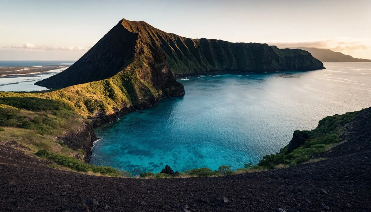
Farther east, Koko Head and Koko Crater give you more examples of Oahu’s younger volcanic landscape. They are separate landforms: Koko Head lies closer to the sea, while Koko Crater rises inland.
A USGS geologic guide to Oahu identifies Koko Crater as the island’s highest tuff cone. The area around these formations shows how much variety can develop within a relatively small part of the coast.
Hanauma Bay also sits within the Koko Head volcanic area. Its curved shoreline offers another way to picture how volcanic activity and later coastal change can produce a sheltered bay.
You shouldn’t expect every Waikiki departure to travel to Hanauma Bay or Koko Head. They are useful landmarks to know as you look east across the island, not automatic stops on your route.
A south-shore Oahu boat tour can still give you the context to appreciate them. Once you recognize Diamond Head as a younger volcanic cone, you have a starting point for understanding the other craters farther along the coast.
How erosion changed the volcanic coast
Rain and streams reshaped the mountains
Volcanic eruptions built Oahu’s landforms, but they didn’t leave them unchanged. Over long periods, rainfall and streams cut into rock, carrying sediment downhill and carving valleys into the older mountains.
That helps explain the difference between a broad volcanic mountain and the deeply cut ridges you see today. The Ko’olau range has a long history of erosion, while a smaller cone such as Diamond Head retains a more recognizable crater-like outline.
From offshore, look past the beachfront toward the folds and valleys in the mountains. Their shapes tell you that water has been working on the island for far longer than the hotels have lined Waikiki.
Waves continue to work at the shore
The ocean also wears away exposed coastal rock and moves sediment along the shore. Waves, currents, and sea-level changes have all played a part in the coast’s appearance.
You can’t date a beach or identify every layer of rock from a moving boat. You can, however, notice the differences between a rocky headland and a sandy stretch of shoreline. Each has responded to the ocean in its own way.
The developed waterfront adds another layer to that view. Harbors, buildings, and beaches now sit beside natural features that began with volcanic activity.
The reef is part of the picture, too
The volcanic island provides the setting for the marine life you may see on an Oahu boat tour. Beneath the surface, coral communities offer habitat for fish and other animals. Their shapes and colors add a different dimension to the geology visible above the water.
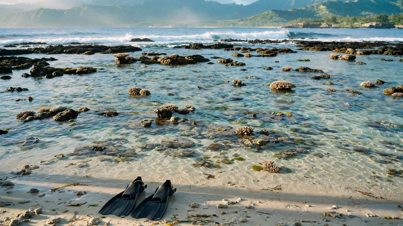
If you’re snorkeling, take time to look across the reef without trying to identify every dark patch as volcanic rock. The underwater scene can include living coral, sand, algae, and other material, and its appearance changes with light and visibility.
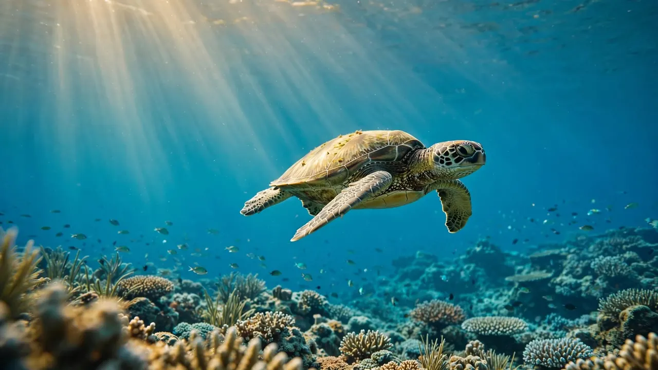
Hawaiian green sea turtles, or honu, may also move through these waters. Give them room to swim and rest, and enjoy any encounter without touching, chasing, or crowding them. Wildlife sightings are never guaranteed, which makes a respectful view all the more special.
For first-time snorkelers, a professional guide can help with equipment and explain how to observe marine life responsibly. You can ask for support before entering the water and stay within the crew’s guidance throughout your swim.
Above or below the surface, the same principle applies: give the coast space to remain as you found it. Avoid standing on coral, and keep your hands clear of the reef.
Read the shoreline as you cruise
Start with Diamond Head
Once you’re clear of the harbor structures, look toward Diamond Head and take in its position relative to Waikiki. You may see the crater, beach, and skyline together, depending on your route and the conditions.
Take a wide photograph early if the view is clear. Then watch how the crater’s profile changes as the boat moves. The best angle isn’t always the closest one, and a wider frame can show how the volcanic ridge relates to the developed shoreline.
Keep your phone secure and stay seated or hold a rail when the boat moves. You’ll have more time to enjoy the view if you don’t spend the entire trip trying to capture it.
Turn toward the mountains
After looking east, turn inland toward the Ko’olau range. Notice the long ridge behind the city and the valleys that break up its outline. This older volcanic landscape gives Diamond Head a useful sense of scale.
Light changes what stands out. In brighter conditions, exposed slopes and buildings may be easier to distinguish. Later in the day, shadows can make ridges more visible, although clouds and weather affect every outing.
Look at the water as well as the land. Color and texture can change with depth, waves, clouds, and the angle of the sun. Those changes are part of the view, even when they don’t reveal exactly what’s on the seafloor.
Choose a comfortable way to see the coast
Our Oahu ocean excursions depart from Kewalo Basin Boat Harbor, minutes from Waikiki. You can choose an outing that fits your group, whether you want time in the water or prefer to watch the coast from the deck.
Our double-decker vessels have shaded seating, onboard restrooms, and dry storage. The Lokahi also has a SeaKeeper stabilization system designed to reduce boat roll. Conditions can still vary, but a more stable ride can make it easier to settle in and enjoy the scenery.
If you want to snorkel, our professional snorkel guides can help you feel comfortable with your gear and share guidance for a respectful wildlife encounter. Beginners are welcome, and you can ask questions before getting in the water.
For families and couples, the choice comes down to how you want to spend your time. A swimming-focused outing adds a view beneath the surface, while time on deck lets you follow the shoreline and its volcanic landmarks at a relaxed pace.
See Oahu’s coast in a new light
An Oahu boat tour puts Diamond Head and the older Ko’olau mountains in the same view. Once you know they formed during different chapters of volcanic activity, the shoreline becomes more than a backdrop.
Give yourself time to look beyond the beach. The crater’s outline, the mountain valleys, and the water below all help you appreciate how much history fits into one stretch of coast.