How to Estimate Ship Distance on a Boat Tour
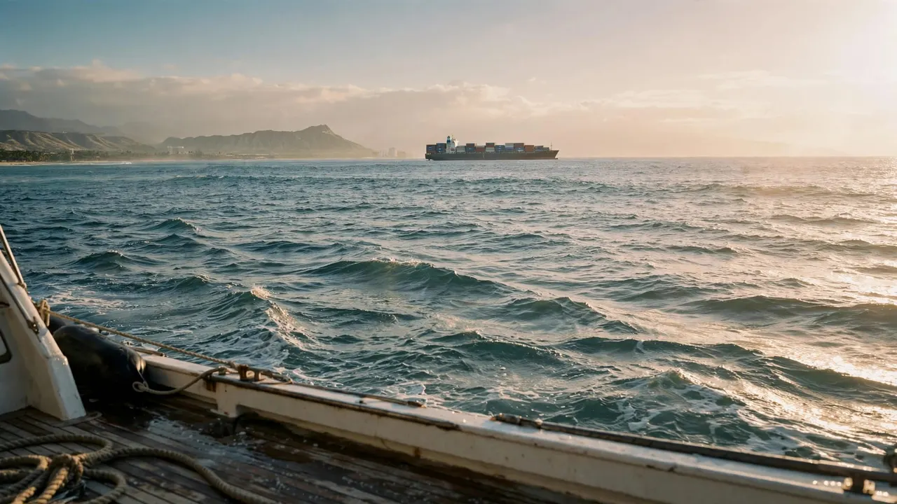
You can estimate ship distance by comparing the vessel with the horizon, nearby landmarks, and its apparent movement. Your answer will be a rough estimate, because size and weather can make a ship look closer or farther away than it is.
On a Living Ocean Tours outing near Waikiki, watching distant traffic can add another dimension to your time on the water. Start with a few visual clues, then let the captain handle navigation.
Why Ships Are Hard to Judge by Eye
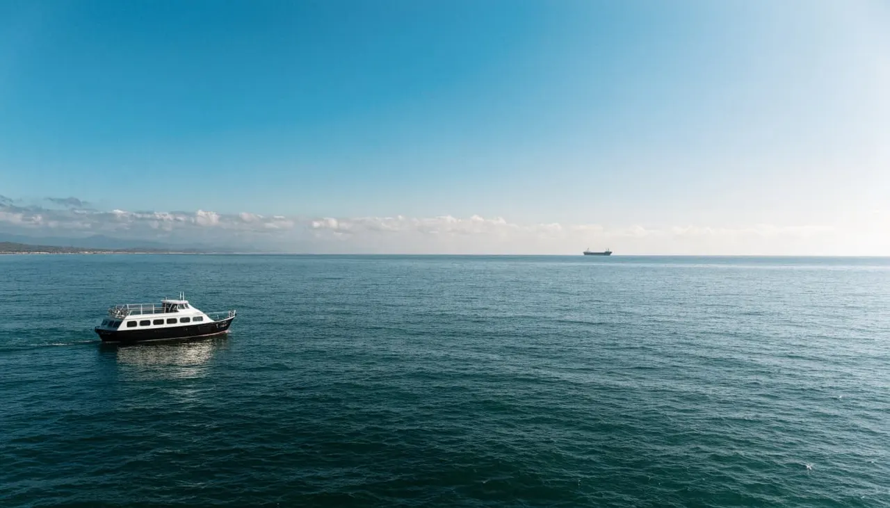
Open water offers fewer familiar size references than a street or a beach. A large cargo ship miles away can look similar in size to a much smaller boat nearby.
Your brain also relies on contrast. A dark vessel against a bright sky may stand out sharply, while a ship at the same distance can fade into haze. Waves can hide the lower part of a hull and make the vessel appear farther away.
Movement complicates the picture. Your boat may turn, rise on a swell, or travel along the coast while you watch. The other vessel may be moving too. As a result, a view that seems stationary for a few seconds doesn’t tell you how the distance is changing.
Before you settle on a number, describe what you can see: the whole hull, the upper decks, or only a silhouette. That gives you a starting point without treating an impression as a measurement.
Use the Horizon as a Distance Clue
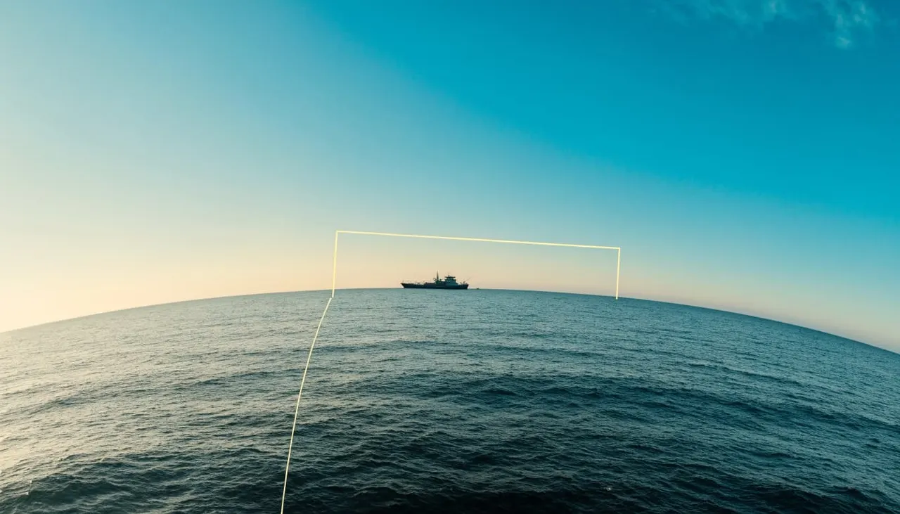
The horizon gives you a reference for the distance you can see across the surface of the ocean. Its distance depends partly on how high your eyes are above the water.
Eye height changes your view
Because Earth curves away beneath your line of sight, a higher viewing position extends your geometric horizon. An approximate formula is 3.57 times the square root of eye height in meters, with the answer in kilometers.
These examples use eye height above sea level, not height above the deck.
| Eye height above water | Approximate horizon distance |
|---|---|
| 2 meters | 5 kilometers, or 2.7 nautical miles |
| 6 meters | 8.7 kilometers, or 4.7 nautical miles |
| 10 meters | 11.3 kilometers, or 6.1 nautical miles |
Moving higher helps you see farther, but tripling your height doesn’t triple the distance. These are geometric estimates; atmospheric refraction can change the apparent horizon.
A ship can rise above your horizon
You can see a tall ship beyond the point where the sea surface disappears. Its bridge, upper decks, or mast may remain visible while the lower hull is hidden by Earth’s curvature.
That means the horizon distance in the table isn’t the distance to the ship. The vessel’s height matters too, as do visibility and wave conditions. For more background, The American Practical Navigator’s chapter on navigation discusses horizon distances and elevated objects.
How to Estimate Ship Distance With Visual References
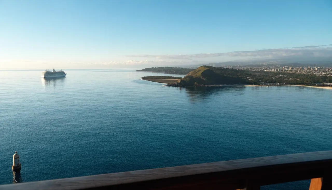
A useful estimate starts with something you can place in the scene. Off Waikiki, that might be a buoy, a section of coastline, or another vessel whose position is easier to judge.
Compare objects without assuming their size
Look at the ship’s apparent size, then consider what kind of vessel it is. A container ship can be much larger than a sailboat, so matching silhouettes don’t imply matching distances.
If a ship appears beyond a buoy, you know it’s farther away along that line of sight. You don’t know how much farther unless you have reliable distance information for both objects.
The same caution applies to shore. A ship that looks close to Diamond Head in your view may be well offshore. Two objects can line up visually even when a considerable distance separates them.
Watch for changes over time
Choose a comfortable viewing position and observe the vessel more than once. If its outline grows and more detail becomes visible, the distance between you may be decreasing.
A shrinking outline can suggest increasing separation. However, haze, turns, and changes in light can affect what you see. Treat each clue as part of a larger picture rather than a precise answer.
Use Direction and Movement Carefully
To estimate ship distance well, separate what the ship is doing from what your own boat is doing. A turn can make a vessel slide across your view even if its course hasn’t changed.
Notice the ship’s bearing
A bearing is the direction of an object from your position. Crew members can observe that direction with navigational equipment and compare it over time.
If another vessel’s compass bearing stays nearly constant while the range decreases, there may be a collision risk. A changing bearing alone doesn’t guarantee that vessels will pass safely, particularly at close range.
As a passenger, you can tell the crew where you see traffic without trying to interpret the risk yourself. Say “off the right side near the horizon,” for example, rather than pointing vaguely across the water.
Don’t confuse speed with distance
A knot is a measure of speed: one nautical mile per hour. NOAA’s guide to nautical navigation terms explains the relationship.
Knowing a ship’s speed doesn’t tell you its distance. Its direction and your boat’s movement matter too. A vessel traveling across your view may look quick, while one heading toward you may change position slowly against the background.
How Crews Measure Distance at Sea
Visual observation is useful, but captains have tools that provide more information than an unaided guess. The available equipment and its settings affect what each tool can show.
Radar and electronic charts
When fitted and operating, marine radar can help a crew detect targets and estimate their range. Long-range scanning can also provide time to watch traffic and consider a response.
GPS shows a vessel’s position, while an electronic chart displays that position in relation to mapped features. GPS alone doesn’t automatically measure the distance to every boat you can see.
Captains combine instruments with visual observation and other available information. A small target, sea clutter, or equipment settings can affect a radar return, so a screen isn’t a substitute for looking outside.
AIS adds information about some vessels
The Automatic Identification System, or AIS, can transmit a vessel’s identity, position, course, and speed. When suitable equipment receives that information, it can help a crew understand traffic.
However, you shouldn’t expect every vessel on the water to appear on AIS. A boat that isn’t transmitting usable information may still be nearby.
The U.S. Coast Guard navigation rules require vessels to maintain a proper lookout and use appropriate available means to assess collision risk. On a tour, those decisions belong to the captain.
How Weather Changes Your Estimate
Clear geometry doesn’t guarantee a clear view. Haze, rain, sea spray, and low-angle sunlight can make a ship difficult to distinguish from the water and sky.
Glare can hide useful details
Sunlight reflected off the ocean can wash out a vessel’s outline. Backlighting may leave you with a dark silhouette, making it harder to see the hull or judge its size.
Polarized sunglasses can reduce reflected glare at some viewing angles. They won’t remove haze or reveal details hidden by distance, but they may make a long horizon scan more comfortable.
Waves can interrupt your sightline
Swell raises and lowers your viewing position. Waves between you and a vessel can also temporarily obscure part of its hull.
For a steadier look, stay seated when conditions call for it and use a railing when moving around. Give your eyes time to settle before you compare observations. If you’re using binoculars, find the ship with your unaided eyes first, then bring the binoculars up.
Practice Your View With Our Waikiki Crew
You can enjoy the distance-spotting exercise while someone else takes care of the route. At Living Ocean Tours, our boats depart from Kewalo Basin Boat Harbor near Waikiki, giving you a chance to watch the coastline and offshore traffic change perspective.
Our double-decker vessels offer different viewing positions, although the captain’s course and ocean conditions will shape what you can see. Choose a comfortable spot, listen to the safety briefing, and ask our crew when you want help identifying something on the water.
If your plans include time in the ocean, our professional snorkel guides help beginners feel more comfortable. Observe wildlife without touching it, and give marine animals room to move. You can browse our Waikiki boat tours and cruises to find an outing that suits your group.
Key Takeaways for Spotting Distant Ships
- Your eye height affects the distance to the sea-surface horizon, but a tall ship can be visible beyond it.
- A buoy or shoreline can provide context, though a visual lineup doesn’t reveal the distance between objects.
- Changes in a ship’s appearance are clues, not a reliable measurement on their own.
- Radar, AIS, GPS, and visual observation provide different information. The captain uses the available tools to manage navigation.
Frequently Asked Questions
Can you estimate ship distance from its size?
You can make a rough comparison, especially if you recognize the type of vessel. However, ships vary greatly in size. Without knowing the vessel’s dimensions and measuring its apparent size, your estimate can be far off.
Does seeing only the top of a ship mean it’s beyond the horizon?
It can mean the lower hull is hidden by Earth’s curvature. Waves, haze, and obstructions can also conceal part of the vessel, so the view alone doesn’t establish an exact range.
Is a ship at the horizon always the same distance away?
No. Your eye height changes the distance to the visible sea horizon, and atmospheric conditions affect the view. A ship’s own height also influences how far away you can see it.
Can binoculars tell you how far away a ship is?
Ordinary binoculars magnify the view but don’t automatically provide range. They can help you identify features, though a larger-looking image should not be mistaken for a closer ship.
Enjoy the View Without Guessing Too Precisely
When you estimate ship distance, start with the horizon and add context from landmarks, vessel size, and movement. Each observation improves your picture, but none turns a casual look into an exact measurement.
Give yourself time to watch the water and let the captain handle the navigation. The changing view is part of the pleasure of being aboard.