Boat Tour Waikiki: How Radar Helps Crews Track Vessels
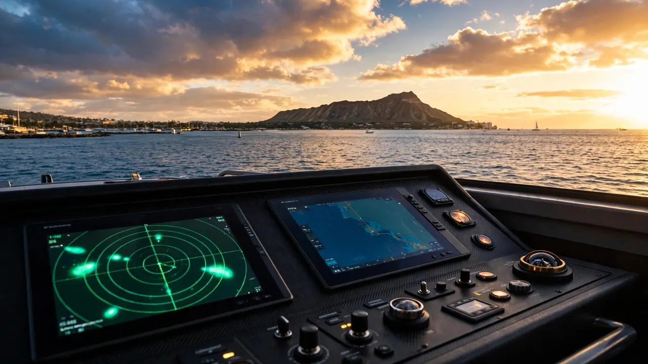
A clear view of Diamond Head doesn’t show every vessel, current, or changing condition beyond the harbor entrance. On a boat tour Waikiki guests enjoy, radar gives the captain another way to monitor traffic while you focus on the water, wildlife, and coastline.
Living Ocean Tours departs from Kewalo Basin Boat Harbor, minutes from Waikiki, for guided ocean time built around comfort, professional guidance, and respect for Hawaii’s marine environment. Understanding the work at the helm can help you relax once the boat leaves the dock.
How Radar Supports a Boat Tour Waikiki
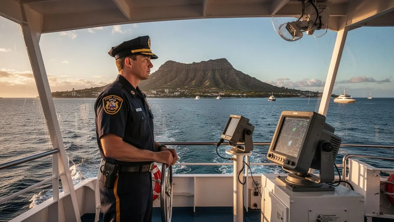
Radar helps a crew build awareness of what is around the vessel, even when glare, rain, distance, or shoreline activity makes visual judgment harder. It supports the captain’s decisions, but it never replaces experienced observation or a proper lookout.
Radar helps crews judge distance
Marine radar can show the range of vessels and other objects near the boat. The USCG navigation rules on radar use describe radar as a way to determine the range of nearby vessels or objects.
On a busy south-shore route, that information helps the captain see where a sailboat, fishing boat, or larger vessel sits relative to the tour boat. The captain can then maintain room to slow down, adjust course, or wait for traffic to pass.
That extra awareness matters near harbor entrances, reef areas, and popular coastal waters. A boat tour Waikiki route isn’t a fixed line across open water. It changes with the real conditions outside the harbor.
Long-range scanning adds time to decide
The best navigation choices usually happen early. NOAA notes that proper radar use, including long-range scanning, can provide early warning of a possible collision risk when radar is fitted and working.
A contact that appears far away may not require any action. Still, seeing it early gives the captain time to watch its movement and choose a calm, measured response if needed.
A route change often protects your comfort, operating space, and the marine environment at the same time.
Radar Works With GPS, Charts, and the Lookout
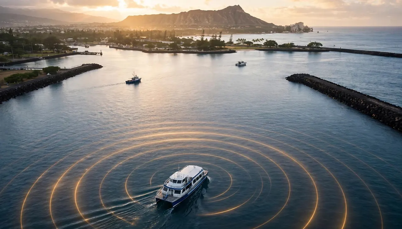
Radar is one part of a larger navigation routine. The crew compares several sources of information instead of trusting one screen or one view.
GPS and charts show the planned route
GPS helps the crew track the boat’s location, heading, speed, and progress along a planned route. Electronic charts add charted features such as harbor channels, reef edges, depth information, and navigation aids.
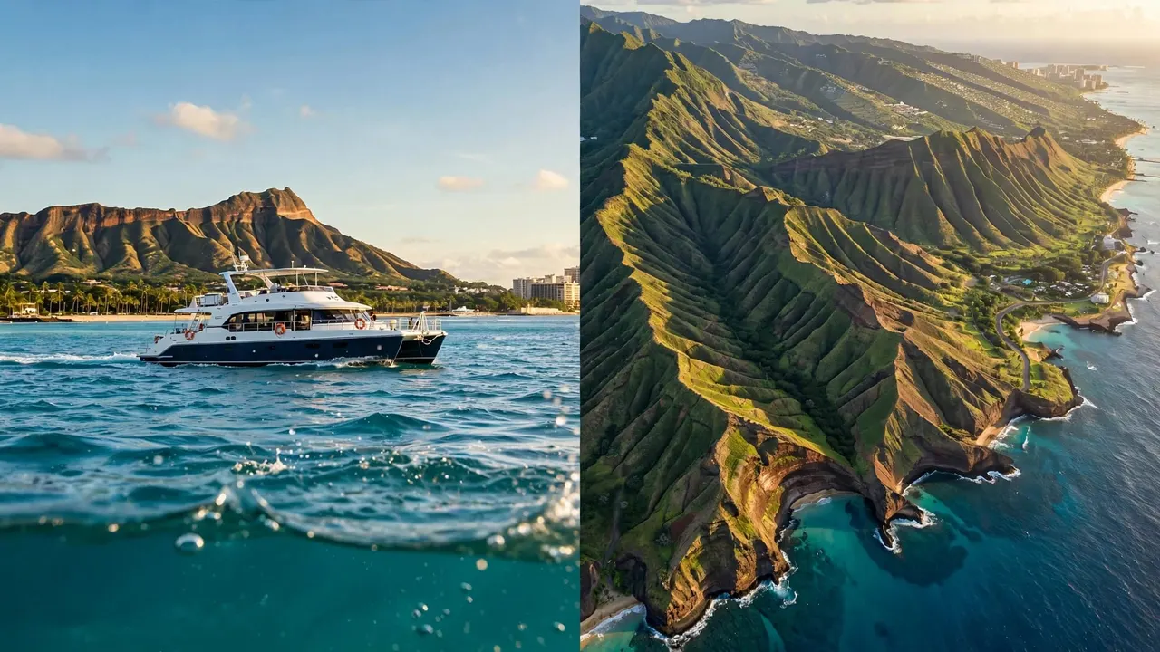
Along Waikiki’s coast, visual landmarks also matter. Kewalo Basin, Ala Wai Small Boat Harbor, Diamond Head Lighthouse, and Diamond Head help confirm where the vessel sits in relation to the shoreline.
However, a planned route is only a starting point. Wind, swell, traffic, visibility, and water conditions can require the captain to change speed, direction, timing, or destination.
A human lookout still matters
The captain and crew watch the water directly while using navigation equipment. They look for paddlers, swimmers, floating debris, changing wave patterns, and vessels that need extra space.
Crew members also communicate with one another and listen for relevant marine information. The Coast Guard explains that urgent marine broadcasts begin on VHF Channel 16 before shifting to Channel 22A, as outlined in its radio information for boaters.
You can help by keeping walkways clear, storing loose items, and following directions when the crew asks you to remain seated or move away from a work area.
Radar and AIS Provide Different Information
Radar and Automatic Identification System, or AIS, often appear in the same bridge conversation. They are separate tools with different strengths.
Radar detects returns near the vessel
Radar can help the crew see targets and judge their position and movement over time. It is useful because it does not rely on another vessel broadcasting an identity signal.
Still, radar does not guarantee a clear return from every object. Sea state, rain, distance, vessel size, equipment settings, and other conditions can affect what appears on the display. A captain interprets radar information alongside direct observation and other navigation tools.
For that reason, radar is a support system, not a promise that every object will be identified instantly.
AIS can add vessel details
AIS shares data electronically between equipped vessels and shore stations. According to the USCG AIS overview, an AIS display may include a vessel’s name, course, speed, call sign, classification, and other details.
That can give useful context when the system receives the signal. Yet AIS is not radar, and the crew cannot assume every boat will appear with a complete AIS profile.
The safest practice is layered awareness. Radar, AIS, GPS, charts, radio communication, visual observation, and prudent speed all help the captain make sound decisions.
What You May Notice as a Passenger
Most of the safety work on a boat tour Waikiki guests book happens without interrupting the fun. You may see the captain scanning the horizon, checking instruments, or making a gentle course change while the crew prepares snorkeling gear or points out wildlife.
A route that looks slightly different from your expectations can still be a great day on the water. The captain may choose a more protected stretch of coast, provide extra room around other vessels, or change a wildlife-viewing angle.
Key Takeaways
Radar helps crews monitor nearby traffic and estimate distance, while GPS and electronic charts help show the vessel’s position and route.
- A boat tour Waikiki itinerary can change when wind, swell, traffic, or visibility changes.
- Radar and AIS are different systems, so a captain uses both with visual observation when available.
- You should listen closely to the safety briefing and keep clear of working areas near ladders and helm stations.
- Wildlife and coral deserve space, even when the boat slows down for a memorable view.
A calm ride comes from many small decisions at the helm, not from any single piece of equipment.
Living Ocean Tours Brings Guidance to the Water
Living Ocean Tours runs Honolulu ocean outings from Kewalo Basin Boat Harbor on custom double-decker vessels. The Coral Kai offers open-deck views, while the Lokahi adds shaded seating, dry storage, onboard restrooms, a cash bar, and a SeaKeeper stabilization system that can reduce side-to-side roll.
Living Ocean Tours is the only tour company with professional snorkel guides. That gives you direct help with mask fit, fins, buoyancy, water entry, and reef etiquette before and during your swim.
Professional guides make snorkeling easier
First-time snorkelers and families often feel more comfortable when a trained guide is in the water. Professional snorkel guides can help you settle your equipment, stay relaxed, and avoid damaging coral.
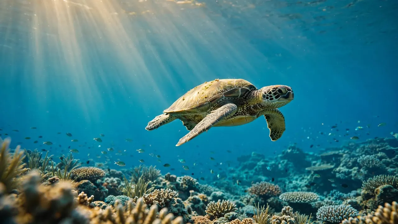
You should observe marine life without touching, feeding, chasing, or crowding it. Hawaiian green sea turtles need room to move naturally, and healthy reefs depend on guests staying horizontal and aware of their surroundings.
Browse Honolulu ocean tour options when you want to pair a safe coastal cruise with snorkeling, wildlife viewing, or an evening on the water.
Comfort supports a better day offshore
SeaKeeper stabilization can reduce roll on the Lokahi, although it cannot make the Pacific motionless. Your seating location, weather, swell, speed, and route all shape how the boat feels.
If you are prone to motion sickness, eat lightly before departure, bring any doctor-approved medication, and tell a crew member early if you feel unwell. A crew member can often help you find a steadier seat closer to the vessel’s center.
FAQ About Radar on Waikiki Boat Tours
Does radar let the captain see every boat?
No. Radar is useful for detecting nearby targets and judging range, but returns can vary with conditions and equipment settings. The captain combines radar with visual observation, charts, GPS, radio communication, and prudent navigation.
Can radar identify a vessel by name?
Radar alone does not reliably provide a vessel’s name. AIS may provide identification details for properly equipped vessels that transmit that information, but AIS and radar are different systems.
Why might the boat change course on a calm day?
Conditions offshore can differ from what you see from Waikiki Beach. Traffic, changing wind, swell, visibility, wildlife, and water conditions can all lead the captain to modify the route or timing.
Should you worry when the crew checks the radar?
No. Monitoring traffic is a normal part of professional boat operation. On a boat tour Waikiki crews run, regular instrument checks and horizon scans show that the captain is staying aware of the conditions around the vessel.
Enjoy the View While the Crew Watches the Water
A boat tour Waikiki experience feels easy because the crew is always assessing the route, nearby traffic, and conditions beyond the harbor. Radar adds useful range and movement information, while GPS, charts, AIS, radio, and a careful lookout complete the picture.
You can enjoy the coastline with more confidence when you give the crew space to work, follow the safety briefing, and respect the ocean life that makes Oahu unforgettable.