Boat Tour Waikiki: How GPS Helps Crews Plan Safe Routes
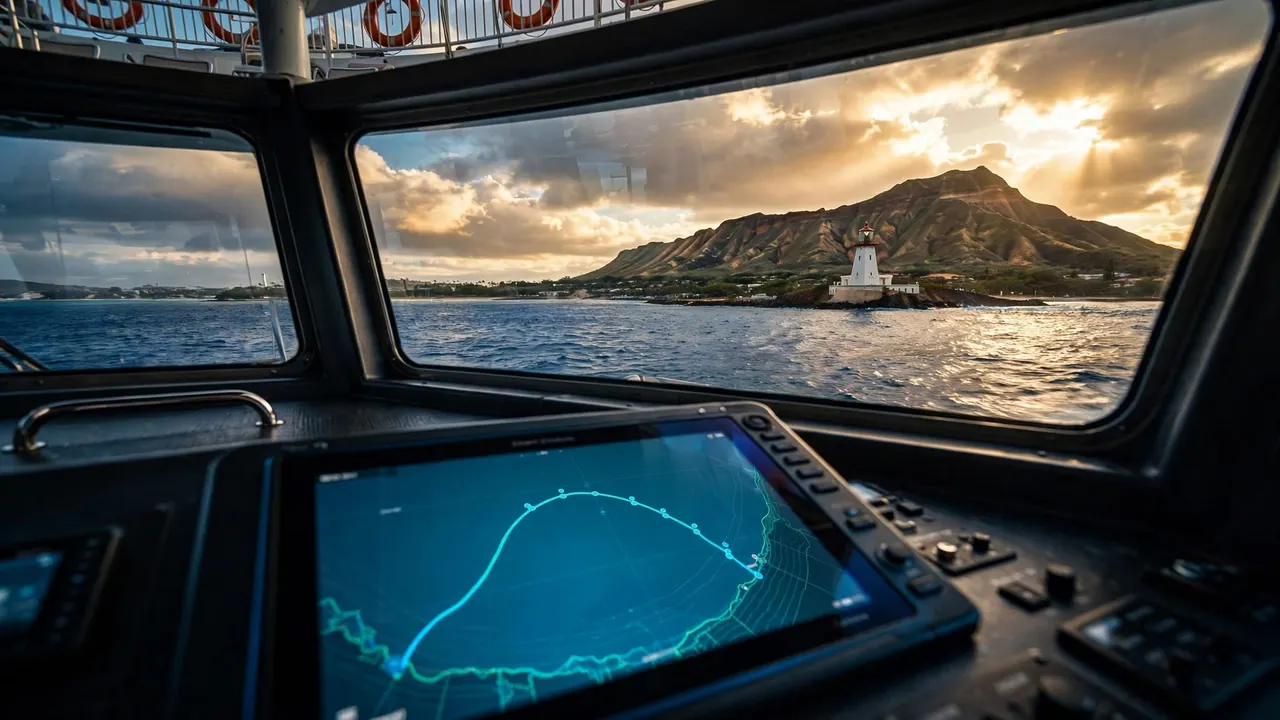
A bright ocean view doesn’t reveal every condition beyond the harbor entrance. On a boat tour Waikiki guests enjoy, GPS helps the crew track position, follow a planned course, and make informed adjustments when wind, swell, traffic, or visibility changes.
Living Ocean Tours departs from Kewalo Basin Boat Harbor, minutes from Waikiki, on Coast Guard-inspected double-decker vessels built for comfortable sightseeing and guided ocean time. You can relax more fully when you understand the safety work happening before and during your cruise.
Why Route Planning Matters Along Waikiki’s Coast
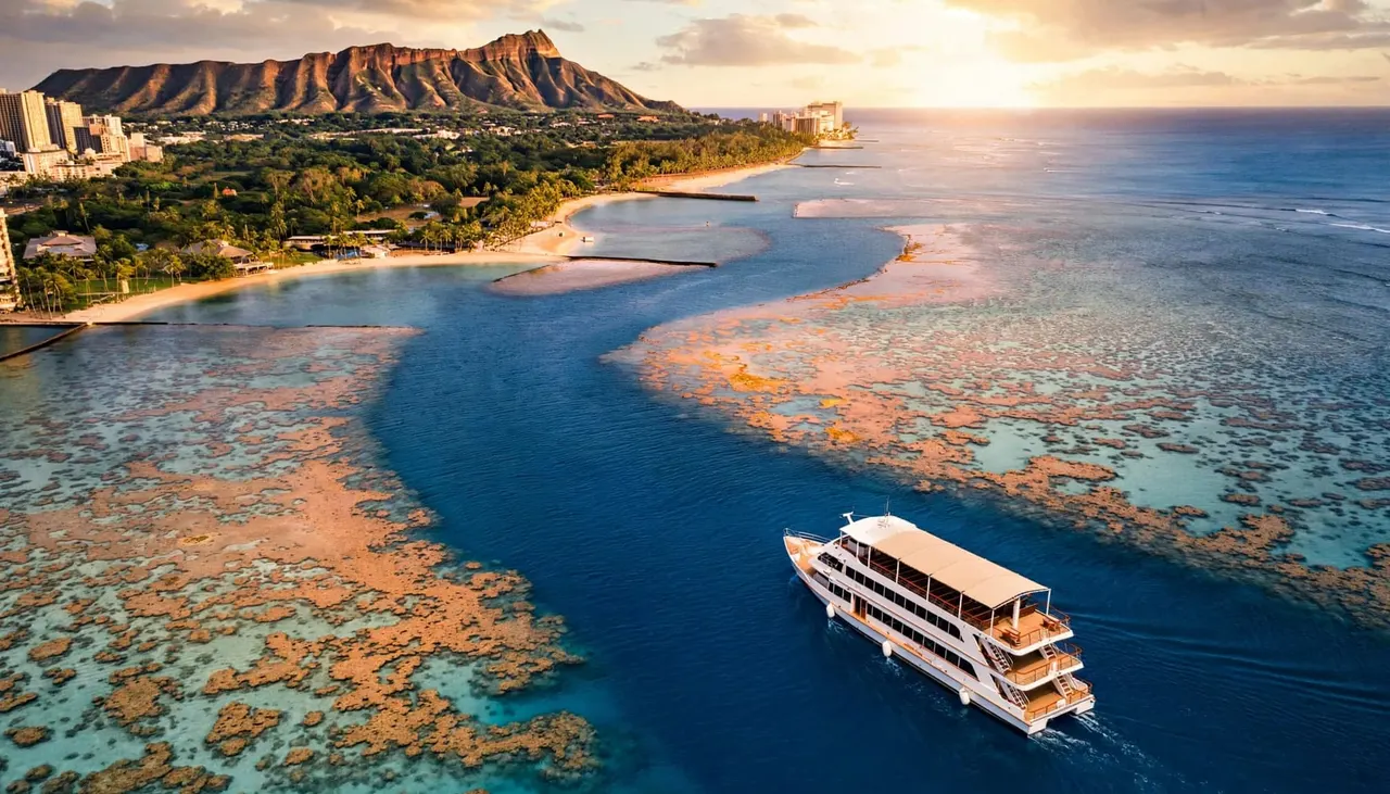
A route off Waikiki isn’t a straight line drawn across open water. Crews account for reef edges, harbor channels, boat traffic, changing depth, landmarks, and the comfort of everyone aboard.
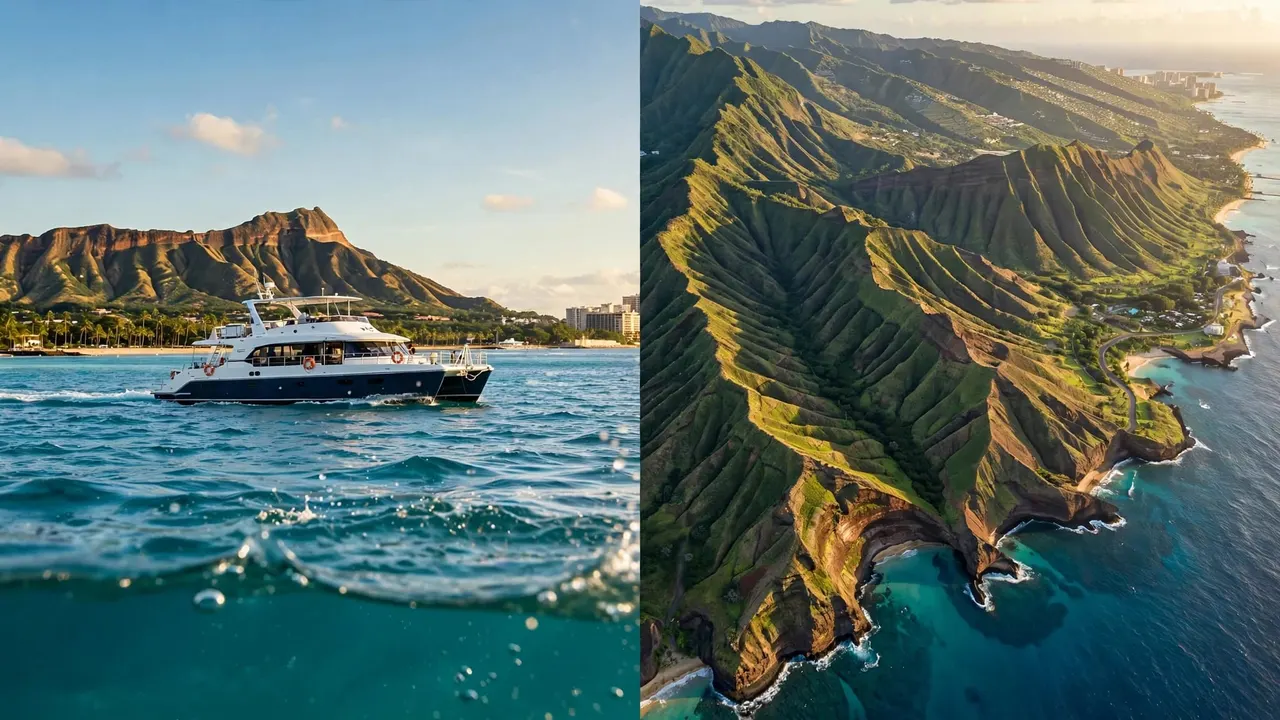
The coast includes recognizable reference points such as Kewalo Basin, Ala Wai Small Boat Harbor, Diamond Head Lighthouse, and Diamond Head itself. These visual features help the crew confirm where the vessel sits in relation to the chart and the shoreline.
Every boat tour Waikiki route also has a purpose. A snorkeling departure needs a safe approach and enough room for guests to enter and exit the water. A sightseeing cruise needs a course that delivers clear views without crowding other vessels. A wildlife outing may require extra distance and slower movement.
A planned route is a starting point, not a promise. The captain can change speed, direction, timing, or destination when conditions call for it.
That flexibility protects guests, crew, coral reefs, and marine animals. It also gives the captain room to respond to what is actually happening on the water.
GPS Tools Behind a Boat Tour Waikiki
GPS gives crews a live position on the water. When it works with electronic charts, it helps turn a broad route plan into practical navigation decisions.
A Position Display Is More Than a Dot
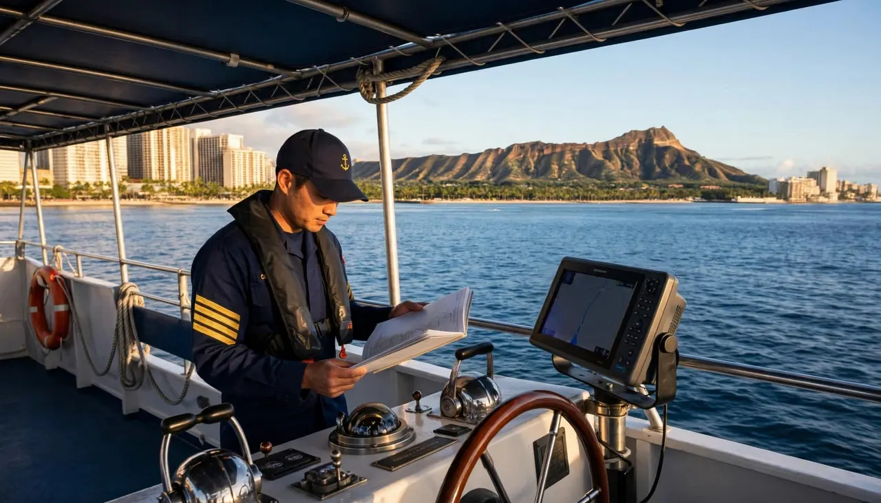
At the helm, a GPS receiver can show the vessel’s location, heading, speed, and movement in relation to charted features. A crew member can see a harbor entrance, nearby depth contours, navigation aids, and the planned direction of travel.
NOAA’s Electronic Navigational Charts support real-time positioning and help mariners avoid grounding and collision hazards. However, an electronic chart is only useful when the crew reads it alongside current conditions.
For you, that work may look simple. The boat leaves the harbor smoothly, turns along the coast, and arrives at a suitable area. Behind that experience, the crew is comparing route information with the water, wind, and traffic around the vessel.
GPS Helps Crews Maintain Safe Margins
A boat tour Waikiki crew doesn’t need to travel as close as possible to shore or a reef to create a memorable view. GPS helps the captain maintain a comfortable operating area while preserving room to turn, slow down, or change course.
That margin matters near popular waters. Sailboats, fishing boats, paddlers, personal watercraft, and commercial vessels can all share the same section of ocean. A clear GPS position helps the captain anticipate movement rather than react at the last second.
For wildlife, distance is part of responsible viewing. Living Ocean Tours asks vessels to stay 100 yards from whales, and to drift if a whale approaches the boat. GPS can help the crew understand distance, but the captain’s observations always control the final decision.
Why Crews Verify GPS With Other Information
GPS is a valuable positioning tool, but it doesn’t replace good seamanship. It cannot show every current, patch of murky water, reef surge, floating debris, or sudden boat movement near the vessel.
Charts, Buoys, and Landmarks Add Context
A crew cross-checks GPS against visible landmarks, charted aids to navigation, water depth, and the vessel’s surroundings. Near a reef or channel, those checks are especially important because the sea floor and shoreline leave little room for casual assumptions.
The U.S. Coast Guard advises mariners to compare GPS with an unrelated position source. In restricted waters, that comparison should happen at least every third fix. Visual bearings, radar, chart matching, and soundings can all support that process.
GPS can tell the crew where the boat believes it is. A visual check confirms whether the vessel’s surroundings match that position.
Conditions at the Site Still Matter
A chart does not reveal underwater visibility. GPS does not tell you whether a snorkel entry feels comfortable for a first-time swimmer. The captain and professional guides look at surface chop, current, boat traffic, reef conditions, and guest readiness before inviting anyone into the water.
If the crew changes the plan, that decision often protects the quality of your experience. A more protected site, a shorter water session, or a coastal cruise may be the better call on that particular day.
Weather Can Change a Waikiki Route
Marine forecasts help crews decide what to expect before departure. NOAA explains that mariners rely on marine weather forecasts for safe and efficient navigation, yet forecasts remain one part of a larger decision.
Wind and Swell Shape the Ride
Wind direction affects surface chop and how a particular stretch of coast feels. Wave height matters, but wave period matters too. A modest swell with a longer period can carry more energy than its height suggests.
The Honolulu coastal waters forecast may include wind, sea height, showers, and changing conditions across the forecast area. Your captain then compares that regional information with what the crew sees near Kewalo Basin and along the planned route.
A clear Waikiki skyline doesn’t always mean quiet water offshore. Trade winds can build through the day, while rain, runoff, or shifting swell can affect visibility around a reef.
The Captain Matches the Route to the Day
On a boat tour Waikiki visitors may see a different coastline or spend more time cruising than expected. That isn’t a sign that something went wrong. It can mean the crew found a safer, more comfortable option.
The captain may alter the course to reduce roll, keep the boat out of stronger wind, avoid crowded areas, or select a better water-entry location. On the Lokahi, SeaKeeper stabilization helps reduce side-to-side roll, although no system makes the Pacific motionless.
What You Can Do Before and During Your Cruise
You don’t need boating experience to be a prepared guest. A few simple choices make it easier for the crew to focus on navigation and help you stay comfortable.
Arrive Ready for a Changing Ocean
Check your booking email and plan to arrive early enough for parking, waivers, restroom use, and the safety briefing. Living Ocean Tours lists its departure point at 1125 Ala Moana Boulevard, Slip B-01, Honolulu, HI 96814.
Bring reef-safe sunscreen, sunglasses, a secure hat, and a light layer for the ride back. Wear footwear with grip for boarding, then follow the crew’s direction around wet decks and water-entry areas.
Keep loose items in dry storage when available. A deck can shift quickly when the boat turns or wind rises, so clear walkways and free hands help you move more safely.
Let the Crew Make the Final Call
Avoid pressuring the captain to travel farther offshore for a photo, sunset angle, or wildlife sighting. The crew considers visibility, boat traffic, guest comfort, weather, and the health of the reef before making a route decision.
If you feel motion sick or uneasy, tell a crew member early. Choose a seat near the center of the boat if available, look toward the horizon, and follow any direction to remain seated or hold a rail.
Your best boat tour Waikiki experience comes from leaving room in your schedule. Don’t book a tight airport transfer or nonrefundable dinner reservation immediately after a cruise.
Guided Snorkeling Needs More Than a Map Pin
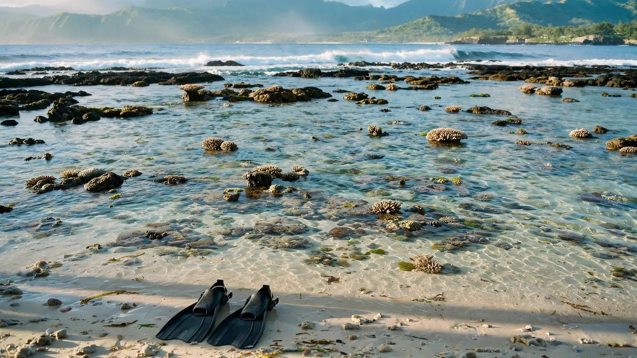
GPS can bring a vessel to the right area, but it doesn’t replace in-water guidance. For snorkeling, you need clear instruction, properly fitted gear, awareness of currents, and respect for the reef.
Professional Guides Support Safer Water Time
Living Ocean Tours is the only tour company with professional snorkel guides. That gives you direct support with mask fit, fins, buoyancy, water entry, and a measured return to the boat.
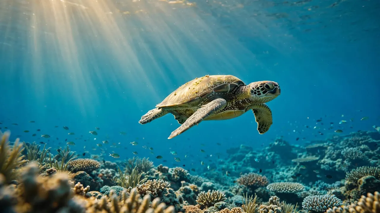
On the Turtle Canyon snorkeling excursion, you can explore Waikiki’s famous turtle habitat with guidance that helps you keep a respectful distance from Hawaiian green sea turtles. Observe marine life without touching it, and never stand on or grab coral.
When the water conditions are suitable, the route supports the experience you came for. When they aren’t, responsible choices protect both you and the reef.
Comfort Helps You Enjoy the Coastline
A good route also considers how you feel onboard. Living Ocean Tours’ vessels offer shaded seating, restrooms, dry storage, and sturdy ladders for water entry and exit. Those practical details matter when you bring children, get chilly after snorkeling, or need a break from the sun.
For a family outing with a reef stop, coastal views, and water activities, the Deluxe Waikiki Snorkeling and Wildlife Cruise travels toward Diamond Head while the crew watches for marine life and evaluates conditions throughout the trip.
Key Takeaways for GPS and Safe Routes
- GPS helps the crew track position, monitor a route, and maintain operating space around reefs, channels, and other vessels.
- Electronic charts and GPS support navigation, but crews also verify their position through landmarks, depth, charted aids, and direct observation.
- Wind, swell, visibility, current, and traffic can change a route even when the weather looks pleasant from shore.
- A modified itinerary often reflects sound judgment, not a lesser experience.
- You can help by arriving early, listening to the safety briefing, securing loose belongings, and respecting crew instructions.
FAQ About GPS on Waikiki Boat Tours
Does GPS guarantee that a boat route will stay the same?
No. GPS shows position and supports the planned route, but the captain may change course at any time. Conditions offshore, traffic, wildlife, visibility, and guest comfort can all affect the day’s plan.
You should expect the crew to prioritize safe water and suitable operating conditions over a rigid itinerary.
Can GPS tell if snorkeling conditions are good?
GPS cannot measure water clarity, reef surge, current at the entry point, or how confident each guest feels in the water. Professional snorkel guides and the captain assess those details at the site.
If you want an ocean outing that fits your group, browse the full selection of Waikiki snorkeling and boat tours. Your crew can help you understand what to expect before you leave the harbor.
Safe Routes Make Better Ocean Days
GPS gives a boat tour Waikiki crew reliable position information, but safe navigation comes from the full picture. Charts, forecasts, visual checks, local knowledge, and captain judgment work together every time the boat leaves Kewalo Basin.
When you give the crew room to adjust the plan, you get the best part of an Oahu ocean day: time to enjoy the coastline, wildlife, and water with confidence and respect.